
The Cliffs of Moher are the headline attraction in County Clare, and the cliffs of moher coastal walk is how you actually see them, out on the clifftop trail rather than from behind the railings at the visitor center. You can pick it up from Doolin in the north, from Hag’s Head in the south, or in short stretches by the visitor center.
We walked the Doolin path on our last trip, a narrow trail hugging the cliffside with a sheer drop to the Atlantic on one side and cows grazing on the farmland on the other. It took us about two hours out and back, and it beats the crowded main viewing area easily.
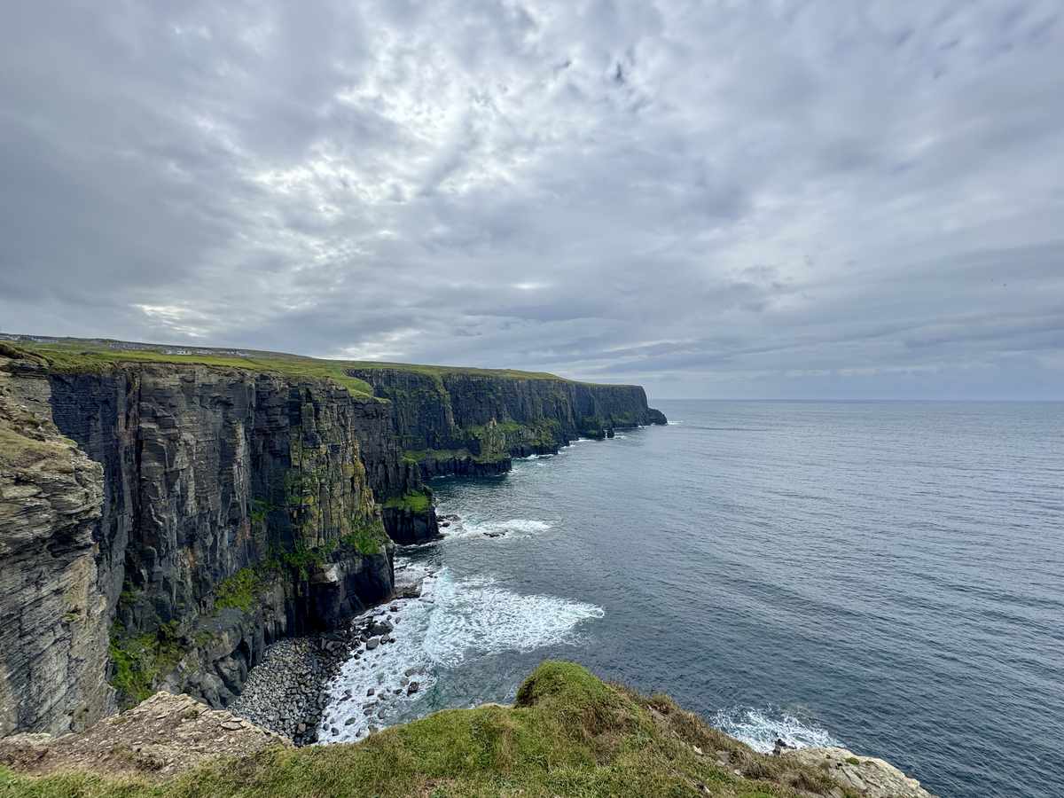
Which route you walk comes down to how far you want to go and where you’ve left the car. Doolin is the one to do if you want the full hike, Hag’s Head gives you the cliffs with far fewer people, and the visitor center stretches are there if you’ve only got an hour to spare.
I’ve laid out all three routes below, along with the parking, the bus and shuttle, when to go and what to pack, and where we stayed near the trail. If you’re walking it for the first time, start with the Doolin route, it’s the one we’d send you to.
More Cliffs of Moher Guides
- How To Visit The Cliffs Of Moher (Complete Guide)
- The Best Hotels Near the Cliffs of Moher
- The Best Coastal Walks in Ireland: 10 Cliff & Sea Trails
Quick Answer:
The cliffs of moher coastal walk runs 18km along the clifftop between Doolin and Hag’s Head, past the visitor center. You usually walk one section: Doolin to the center is about 8km, Hag’s Head to the center about 6km. The clifftop trail is free from either end, and a seasonal shuttle bus lets you walk one way and ride back.
The Three Routes at a Glance
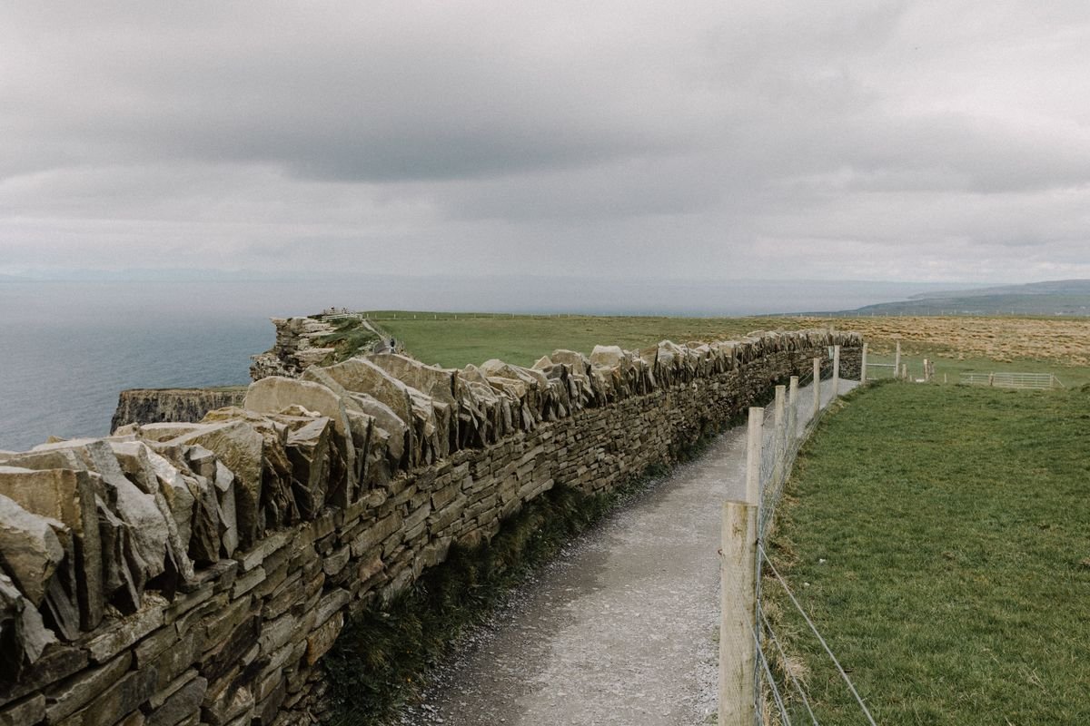
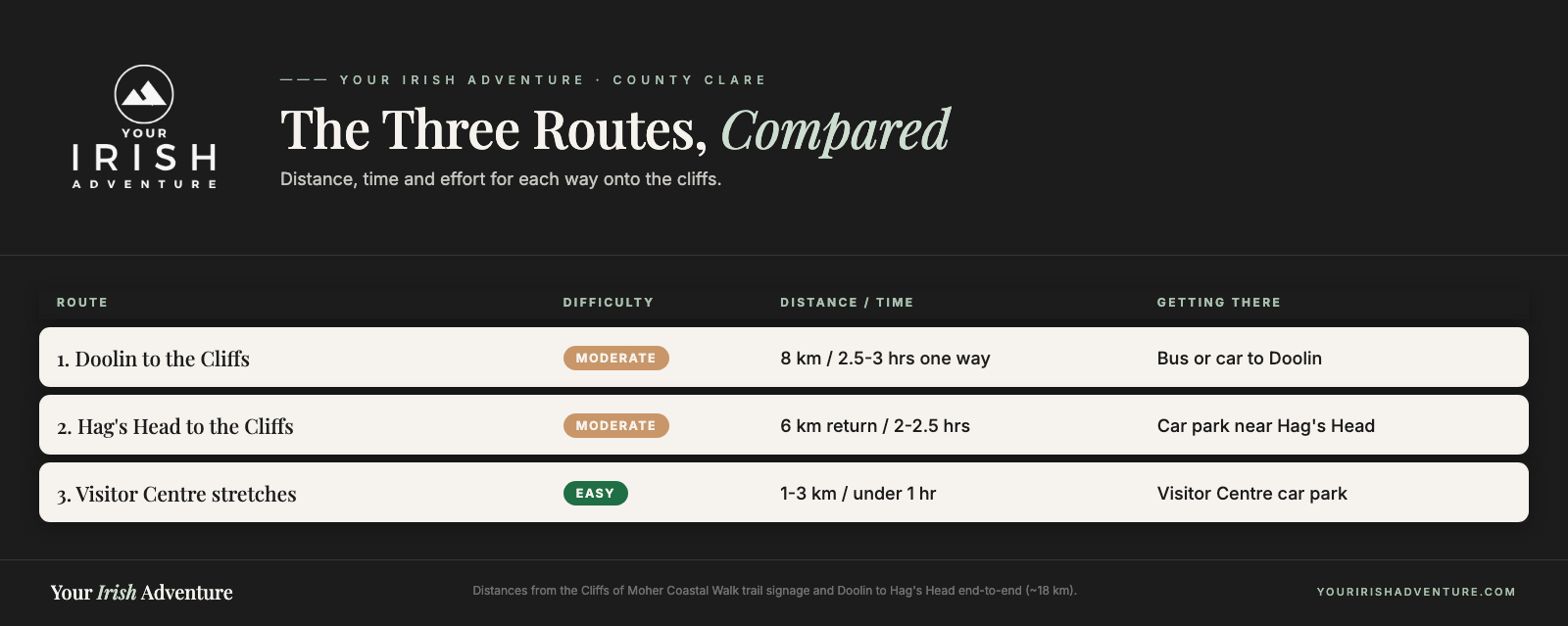
All three routes put you on the same clifftop trail, they just start in different places and ask for different amounts of walking. Here’s the quick version before I get into the detail on each one.
- Doolin route: the full hike, about 8km one way up to the visitor center, or two hours out and back if you turn around partway. Pick this one for the proper walk with the fewest barriers between you and the edge.
- Hag’s Head route: starts at the southern end and climbs to O’Brien’s Tower if you want the whole stretch. Fewer people than the Doolin side, and the views back along the cliffs are the best of the three.
- Visitor center stretches: short paved paths north and south of the main building. Do these if you’ve only got an hour, or you’re not up for a long walk.
Distance is the real decider. Doolin to Hag’s Head end to end is roughly 18km, so you’re better off walking one section and arranging a lift or the bus back rather than doubling it.
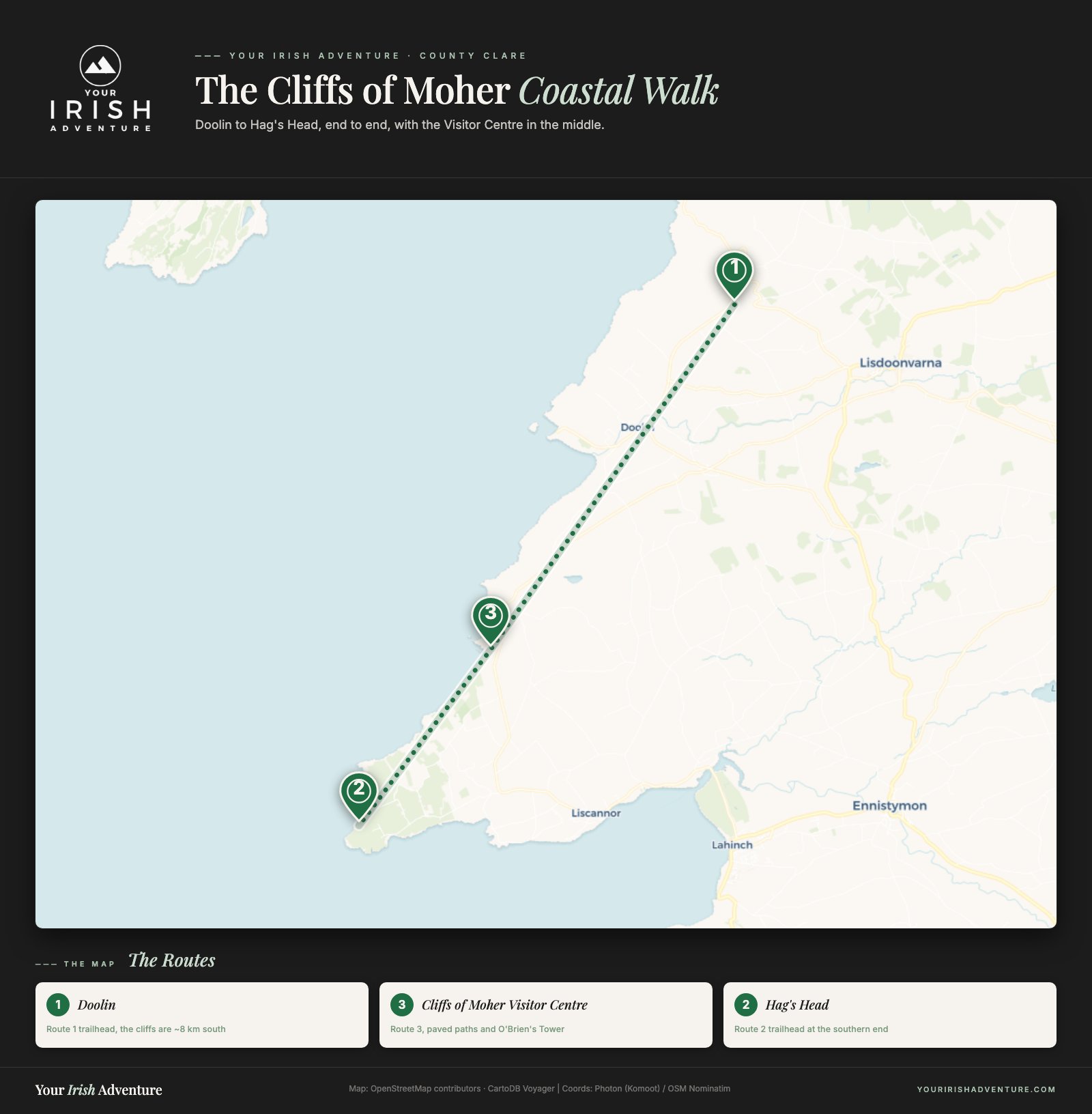
If you want my call, the Doolin route wins. The trailhead is an easy walk from the village pubs, the path is wilder, and you’re not fighting the crowds at the railings the whole time.
Route 1: Doolin to the Cliffs of Moher
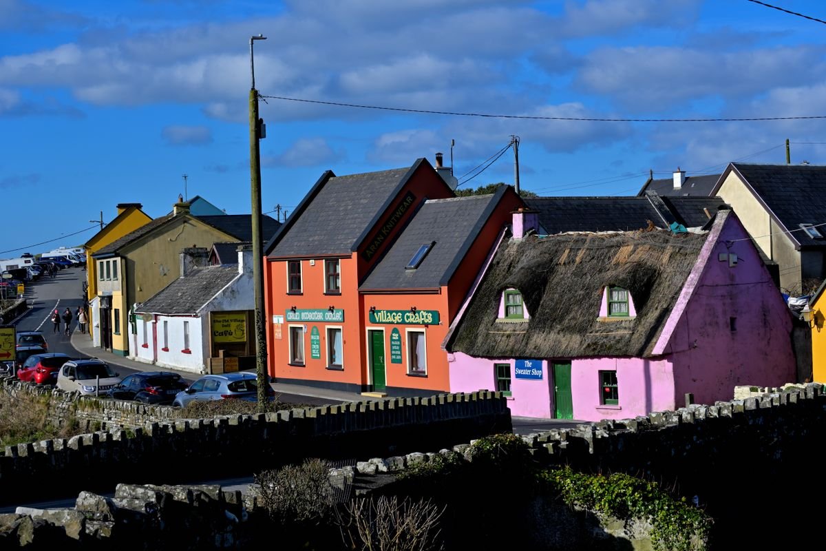
This is the route we’d send you to first. We drove down the R478 from the Burren, parked up in Doolin, and walked the cliff path straight out of the village. No visitor center, no railings, just the trail along the top.
We stayed the night at Nagle’s Camping & Caravan Park, which sits within walking distance of both the trailhead and the pubs. If you’re driving the coast and want to camp, it’s an easy one to use. If you’d rather a bed than a tent, Doolin’s B&Bs and cottages are just as handy for the start of the walk.
Doolin Walk: Distance, Pace & Difficulty
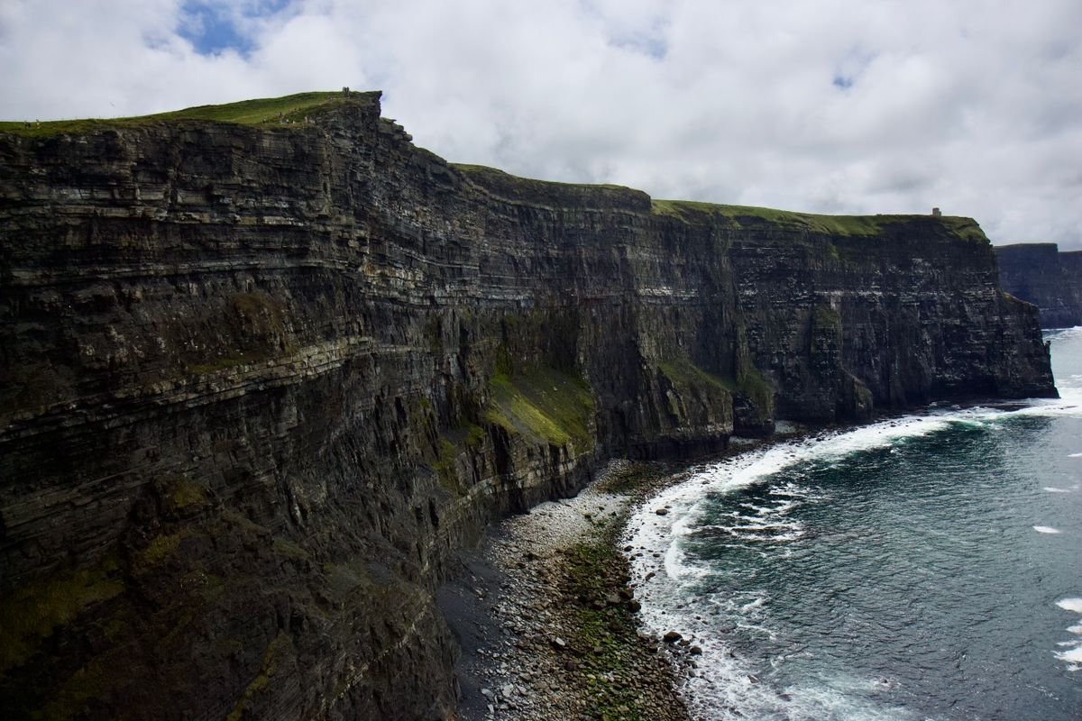
It’s about 8km one way from Doolin up to the visitor center and O’Brien’s Tower, so plan on two to three hours if you walk the whole thing. We didn’t do the full distance. We walked out for an hour, then turned back, and that gave us the best of the cliffs without committing to the whole stretch.
The path itself isn’t hard, but it’s not a stroll either. It climbs and dips, the surface is uneven in places, and there’s no barrier between you and the drop on long stretches. Wear proper shoes, keep kids and dogs close, and stay well back from the edge where the grass starts to crumble.
If you want to walk one way and not double back, you can carry on to the visitor center and catch the bus back to Doolin from there. That’s the move if you’d rather see the whole stretch than repeat it.
Where the Trail Starts in Doolin
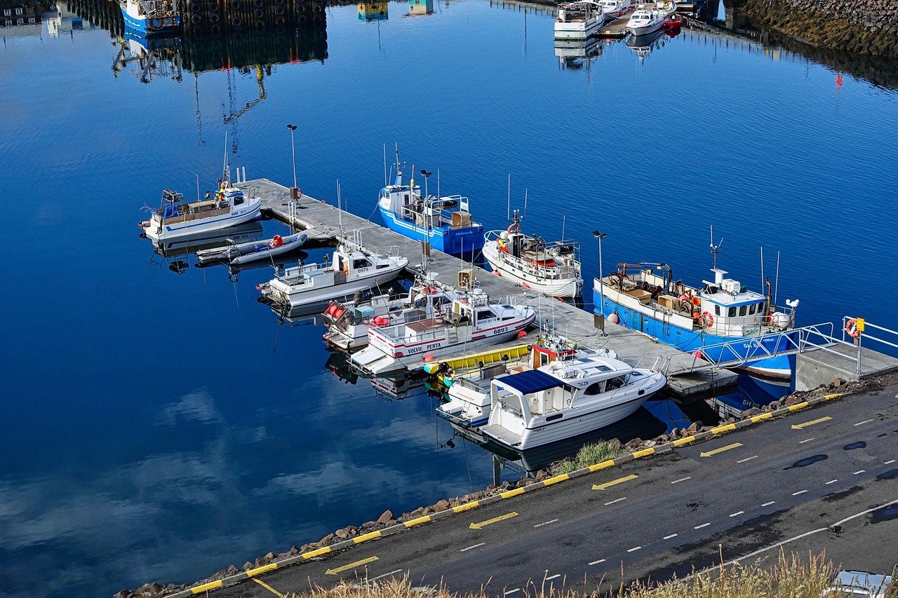
The trail picks up near Doolin pier, the same pier the Aran Islands boats leave from, at the southern edge of the village. It’s signposted, and from the B&Bs and the campsite you can walk to it in a few minutes without driving anywhere.
We ate at Gus O’Connor’s before heading out, a pub that’s been pouring pints since 1832. The fish, chips and mussels did the job, and it’s a short walk from where the path starts. Do the walk first or the food first, either works, but a pint at Gus O’Connor’s afterward is the right way to finish the day.
Route 2: Hag’s Head to the Cliffs of Moher
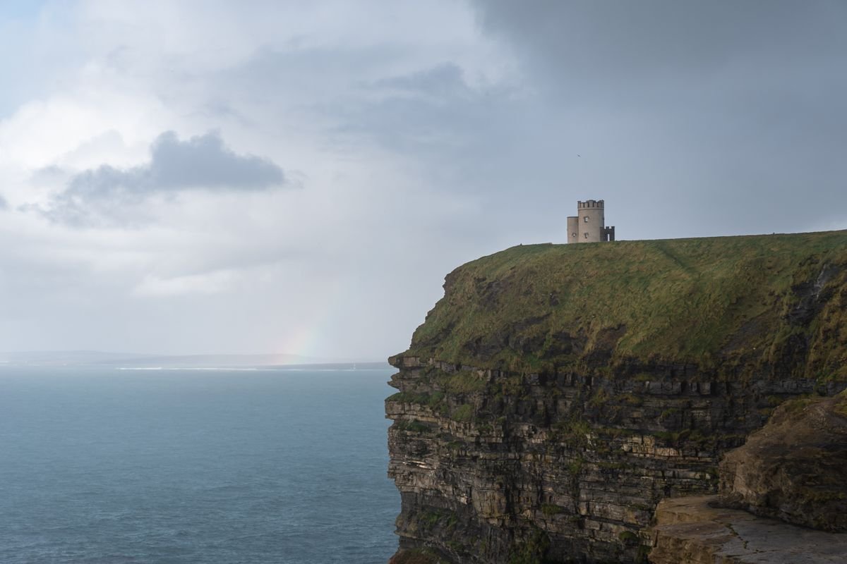
Hag’s Head is the southern tip of the cliffs, and starting here gives you the whole stretch with a fraction of the people at the visitor center. We walked the north end from Doolin on our last trip, so the Hag’s Head side is the part we’d go back for.
The reason it stays quieter is simple: most tour buses and day-trippers funnel straight into the visitor center, so the southern path barely sees them. You also get the best angle of the whole thing from down here, looking back north along the cliff faces toward O’Brien’s Tower.
Hag’s Head Walk: Length, Timing & Effort
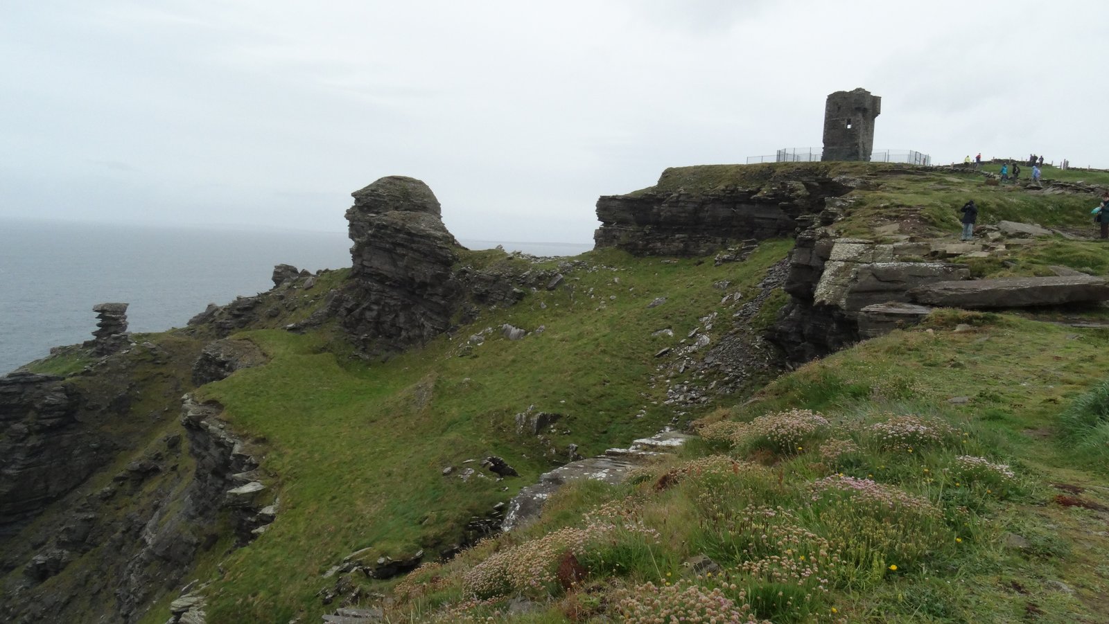
From Hag’s Head up to O’Brien’s Tower and the visitor center is about 6km one way, so plan on two hours each way if you walk the full stretch and turn back. Walk just the first section out to the old signal tower and you’ll still get the big southern views in under an hour.
It’s the same ground as the Doolin path: grassy clifftop, some climbing and dipping, and long stretches with no barrier between you and the drop. Wear proper shoes and keep well back from the crumbling edge. Our day was overcast, which was atmospheric over the cliffs but flattened our photos, so go on a clear morning if you can pick one.
Where to Park for Hag’s Head
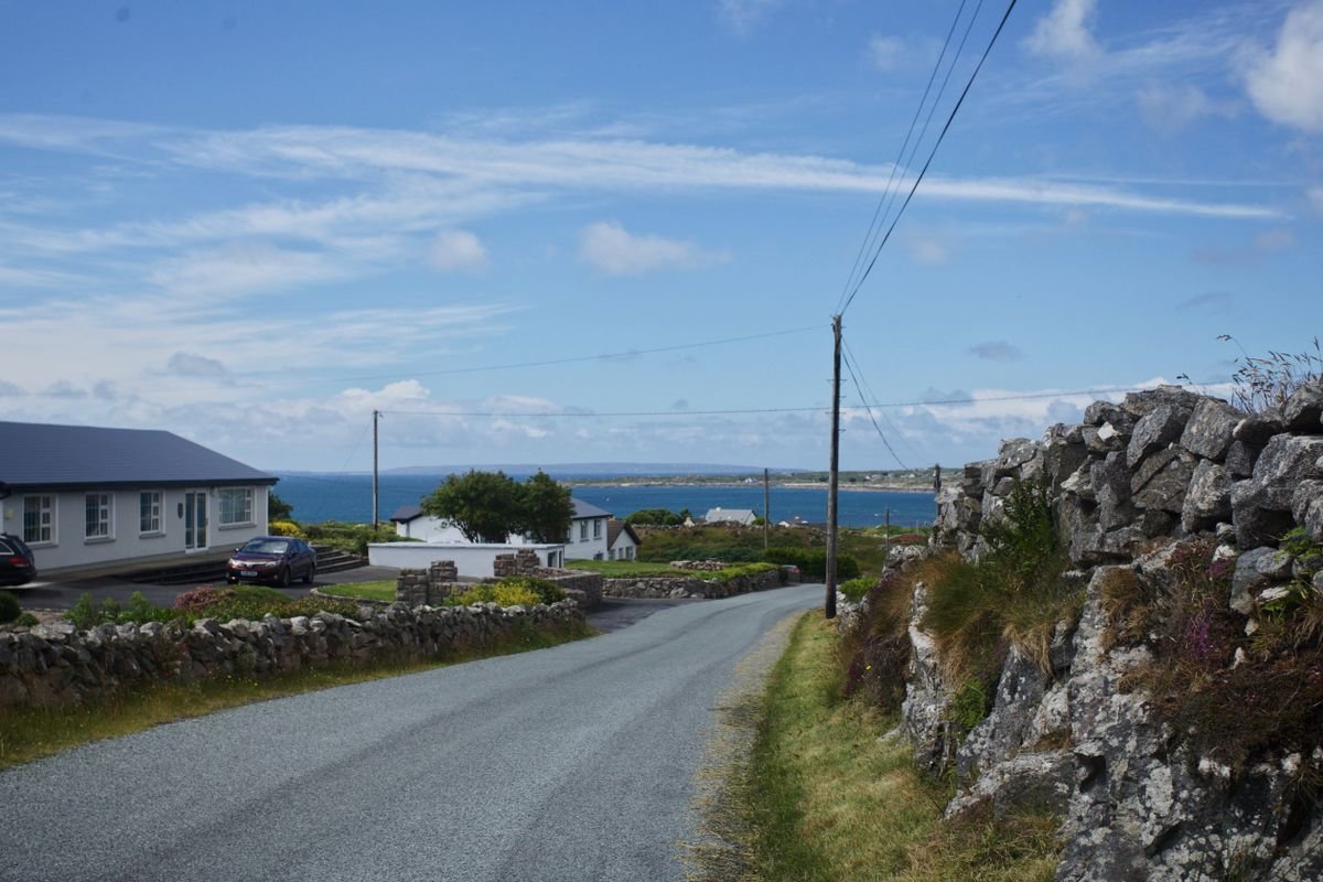
Parking is at a small farmer’s lot off the coast road out of Liscannor, signposted for the cliffs and Hag’s Head. It’s an honesty-box setup, so bring a few euro in coins rather than expecting a card machine.
From there it’s a short walk up to the signal tower where the cliff path begins. If you’d rather not double back the full distance, walk one way to the visitor center and catch the bus back toward Liscannor and Doolin instead of repeating the whole stretch.
Route 3: Short Walks from the Visitor Center
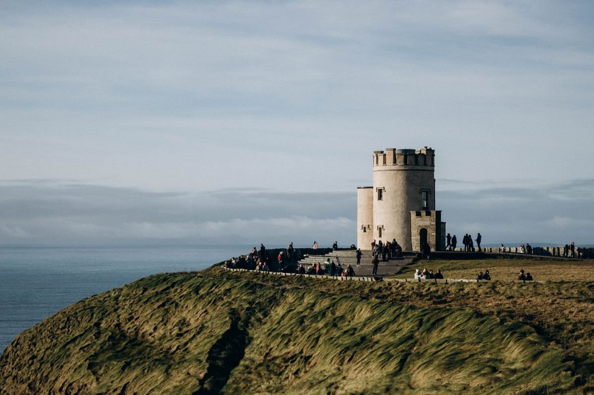
If you’ve only got an hour, or a long clifftop hike isn’t your thing, the short paved paths at the visitor center are the easy option. They run north and south of the main building and put you right at the famous part of the cliffs without much effort.
This is also the busiest spot on the whole stretch. The tour buses unload here, so the railings near the visitor center fill up fast, especially in the middle of the day. Get there early or late and you’ll have a much easier time of it.
The Paved Paths and O’Brien’s Tower
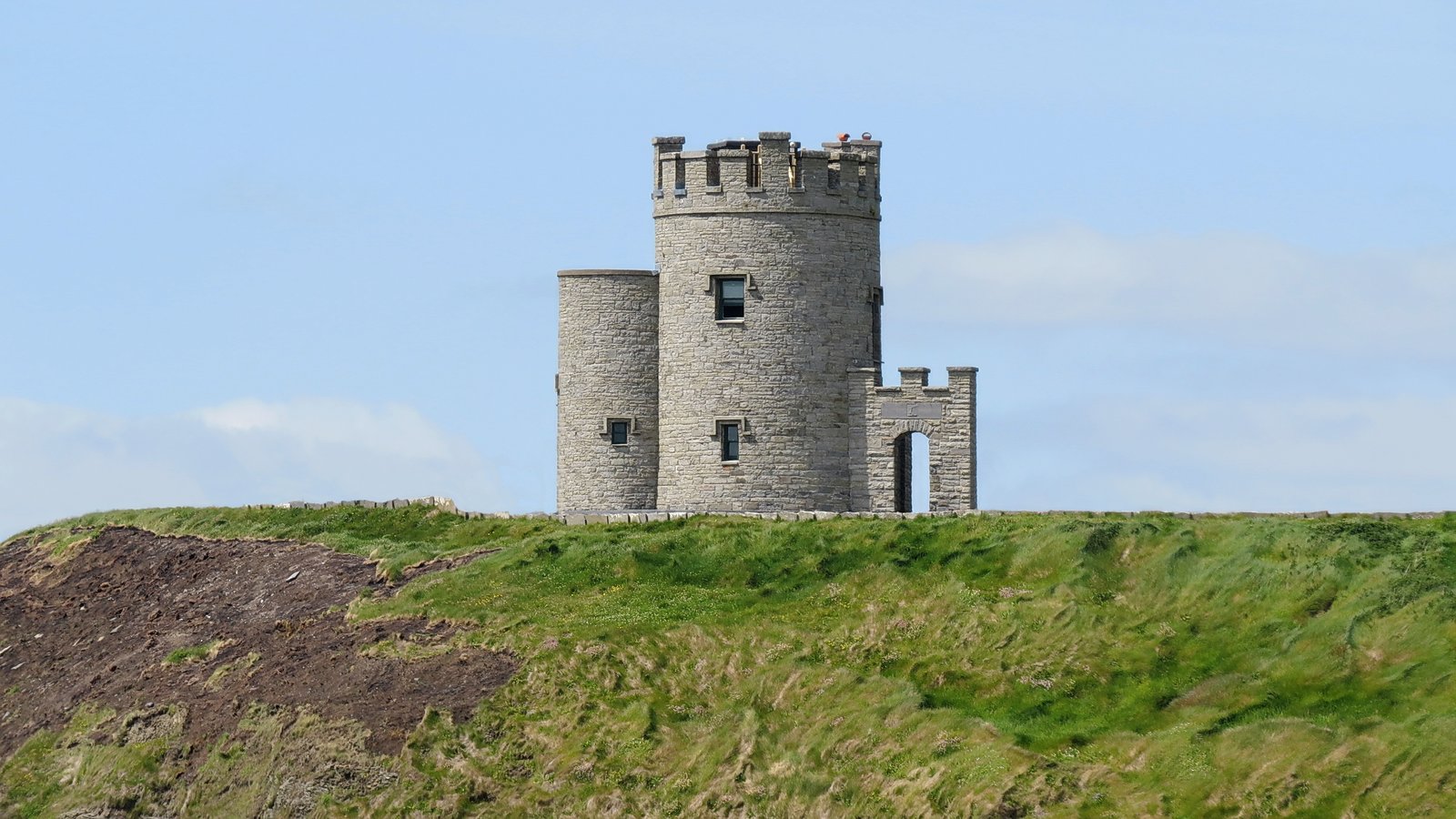
The path south from the center runs toward Hag’s Head, and the one north climbs to O’Brien’s Tower, the stone lookout at the highest point of the cliffs. Both are paved and railed for the first stretch, so they’re fine in regular shoes.
O’Brien’s Tower is the obvious target if you’re short on time. It’s a five-minute walk up from the building, and on a clear day the view back along the cliff faces is the postcard one everybody comes for. There’s a separate charge to climb the tower itself, but the view from the base is free.
Note that the paved, railed section runs out fairly quickly once you head past the main viewpoints. After that you’re on the same unfenced clifftop trail as the Doolin and Hag’s Head routes, so turn back at the railings if you’d rather keep it short and safe.
Parking, Entry and the Visitor Center
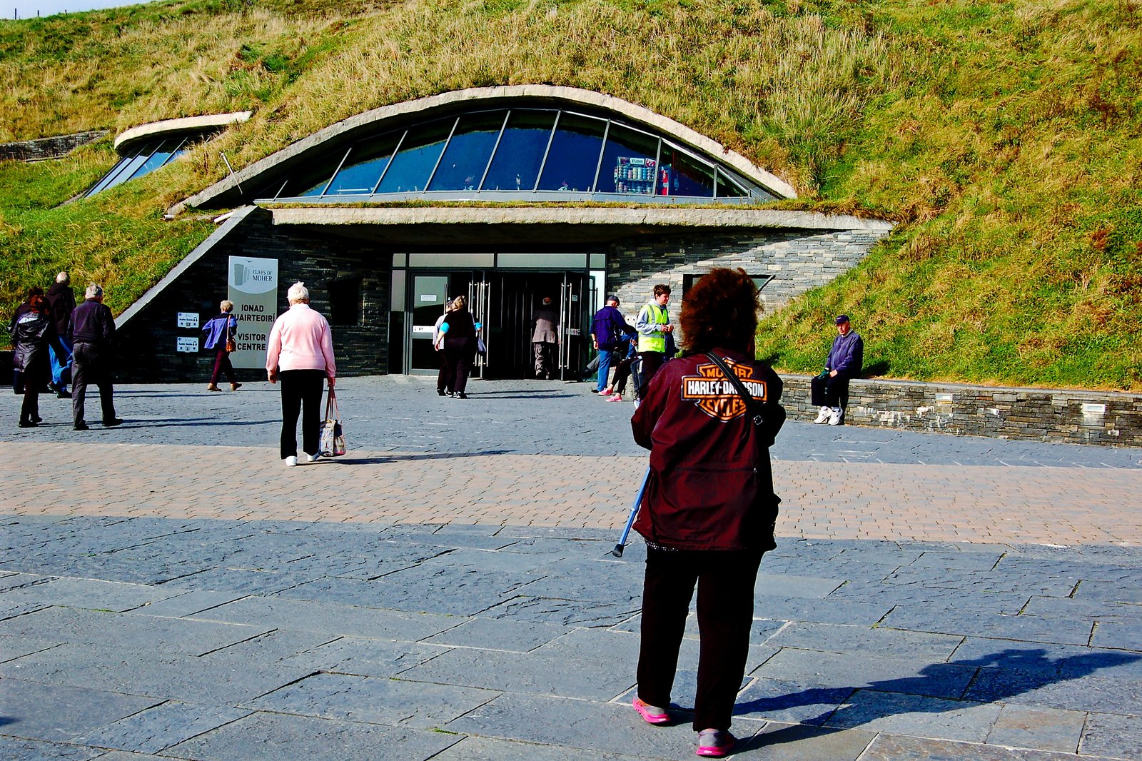
Entry to the Cliffs of Moher is ticketed, and your ticket covers parking, the visitor center exhibition, and access to the paths. It’s cheaper to book online ahead of time than to pay at the gate, and pre-booking a timed slot is worth it in the busier months. Check the official site for current pricing before you go.
The parking lot is right at the center, so there’s no walk in from a distant lot. If you’re coming without a car, the Doolin and Galway buses stop here too, which makes this the simplest route to reach if you’re not driving.
More Doolin Travel Guides
- 15 Best Things To Do in Doolin, Ireland
- Where to Stay in Doolin: Best Areas & Hotels
- 10 Best Doolin Airbnbs (Sea Views, Cottages & Glamping)
Getting to the Trail: Parking, Bus & Shuttle
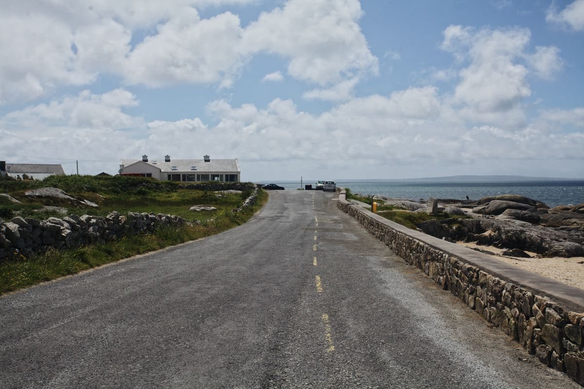
How you get to the trail depends on which end you’re starting from and whether you’ve got a car. We drove the whole coast on our last trip, so parking was easy enough, and if you want the same freedom to start at either end you can compare car hire deals on Discover Cars. Plenty of people reach the cliffs by bus too, and there’s a shuttle that makes the one-way walk work.
If you’re driving, Doolin has parking near the pier where the northern path starts, and the visitor center has its big ticketed lot at the southern end. Hag’s Head is the honesty-box farm lot off the Liscannor road. Pick your start, park there, and sort the way back before you set off.
Without a car, the bus is the simplest way in. Buses from Galway and the wider Clare coast stop at the visitor center, and there’s a regular service into Doolin village, so you can reach either end of the walk without driving.
Walking One Way: Using the Doolin Shuttle Bus
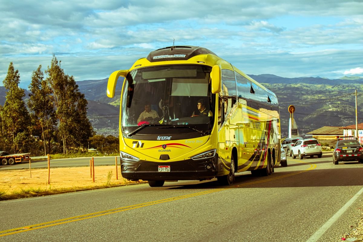
The smart way to walk the cliffs is one direction only, and the Doolin shuttle is what makes that possible. It runs between Doolin and the visitor center, so you can hike the full clifftop trail one way and ride back instead of doubling the distance on tired legs.
We based ourselves in Doolin and the village is set up for exactly this, with the trailhead a short walk from the pubs and the campsite. Walk out to the visitor center in the morning, then grab the shuttle back to the village for a pint to finish the day.
The shuttle runs seasonally and the timetable changes through the year, so check the current schedule before you commit to a one-way hike. If it isn’t running the day you go, the Galway and Doolin buses cover the same gap, just on a looser timetable.
Safety, Weather & What to Bring
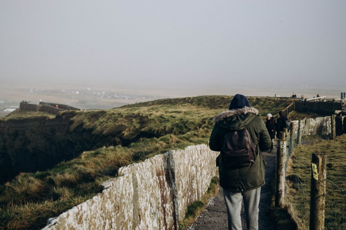
The cliffs are not a railed-off attraction once you leave the visitor center. On the Doolin and Hag’s Head paths there’s nothing between you and a long drop to the Atlantic, and the grass right at the edge crumbles. Stay back from it, keep kids and dogs close, and don’t climb past the warning signs for a photo.
Wind is the part people underestimate. It can be calm in the parking lot and strong enough on the clifftop to push you around, so treat the edge with respect even on a still-looking day.
Weather and When to Go
Clare weather turns fast, and the same hour can give you sun, cloud and rain off the sea. We walked on a Monday in late September, well into shoulder season, so the path was quiet, but the sky stayed gray most of the day. Go early on a clear morning if you can pick your window, both for the views and to beat the tour buses at the center.
Rain rolls in sideways here, so check the forecast the morning of and start early. A wet, blustery afternoon on an unfenced cliff path is no fun and not worth pushing through.
What to Pack

Pack for wind and changeable weather and you’ll be fine. The list is short:
- Proper shoes: hiking shoes or sneakers with grip, not sandals. The path is uneven and gets muddy after rain.
- Layers and a waterproof: a windproof rain jacket is the one thing you don’t want to skip, even on a clear morning.
- Water and a snack: there’s nothing to buy out on the Doolin or Hag’s Head trail.
- A few euro in coins: for the honesty-box parking at Hag’s Head.
- A charged phone: for the camera and for the shuttle and bus times.
Skip anything that needs both hands or your full attention near the edge. Get your shot, then step back to the trail before you start fiddling with the phone.
Best Time to Walk the Trail
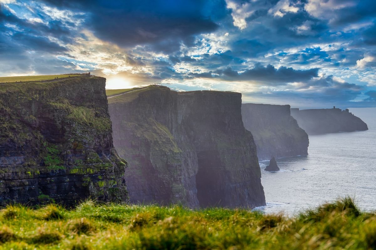
The two things that decide your day here are crowds and light, and both point the same way: go early. The tour buses don’t start unloading at the visitor center until mid-morning, so the first couple of hours on the trail are the calmest you’ll get.
Late in the day works too, once the day-trip buses have headed back to Galway. If you’re walking from Doolin, an early start also lines you up to finish with a pint in the village rather than fighting for a table at lunchtime.
Time of Day for Fewer People
The middle of the day is the busiest, every time. The railings near the visitor center pack out between roughly 11am and 3pm, and the Doolin and Hag’s Head ends thin out the further you get from the building.

Get on the trail by 9am and you’ll have long stretches of the clifftop to yourself, the same as we did walking out from Doolin. A weekday beats a weekend if you can swing it, since the local day-trippers come out on Saturdays and Sundays.
Season by Season
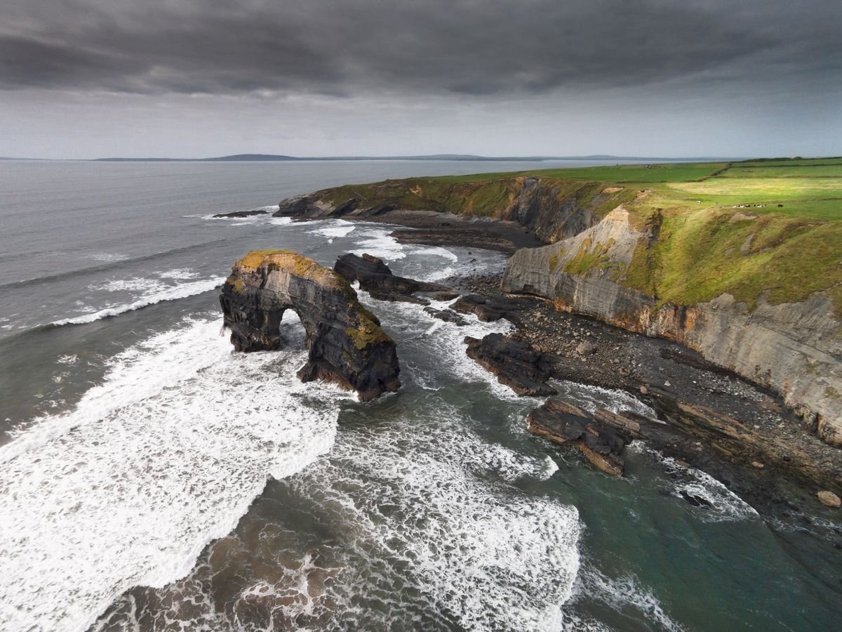
Summer, from June to August, gives you the longest days and the best odds of dry weather, but it’s also when the buses and crowds are at their worst. If you go in summer, the early-start rule matters even more.
Shoulder season, spring and autumn, is the sweet spot. We walked the cliffs in autumn and the path was quiet, with enough daylight to do the full hike without rushing. The trade is that the weather is more of a gamble, so you watch the forecast and grab the clear window when it comes.
Winter is the quietest of all, and on a clear, crisp day the cliffs are at their wildest. Just know the daylight is short, the wind off the Atlantic is harder, and the shuttle and some services run on a reduced timetable or not at all, so check before you rely on them.
More to Do Around County Clare & Galway
- Castles in Clare That Would Be Great On Your itinerary
- Hiking In Galway: 10 Best Trails For All Levels
- Weekend in Galway: The Perfect 2 Day Itinerary
What to See Along the Way
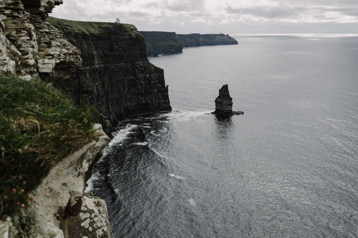
The walk isn’t just one long wall of cliff. There are a handful of landmarks strung along the top, and knowing where they are helps you decide how far to go. The sheer scale of the cliffs in person is the thing that gets you first, taller and longer than the photos make them look.
The Sea Stack Below Hag’s Head
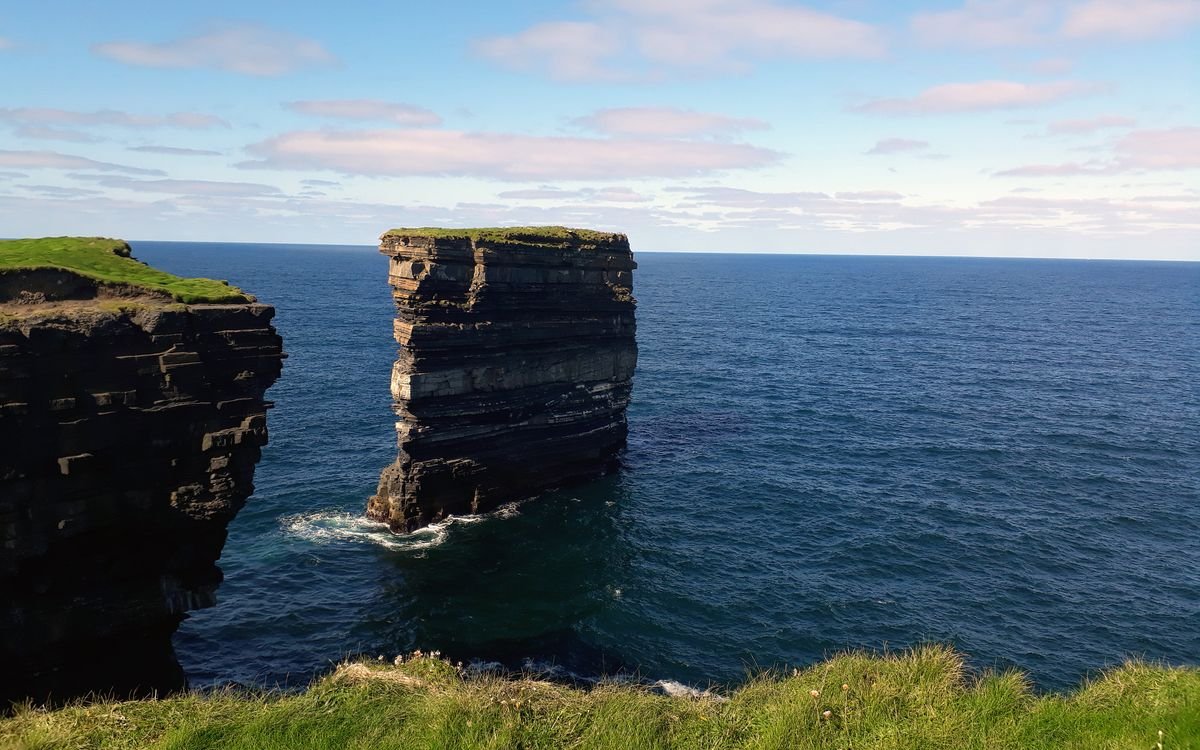
Just off the southern tip, below the old signal tower at Hag’s Head, there’s a tall sea stack standing on its own in the water, separated from the cliff face. It’s one of the best things to see on the quieter southern stretch, and you get the clearest look at it from the path near the tower.
Views North to the Aran Islands
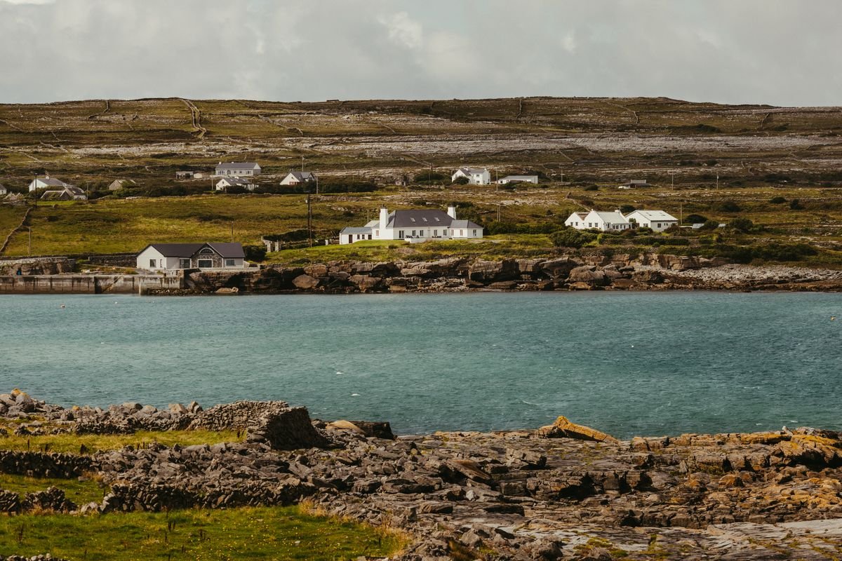
On a clear day the three Aran Islands sit out across the water to the north, with the hills of Connemara behind them and Galway Bay off to the right. The boats that run out to the islands leave from Doolin pier, the same spot the northern path starts, so you can pair the walk with a crossing if the weather cooperates.
Seabirds on the Cliff Ledges
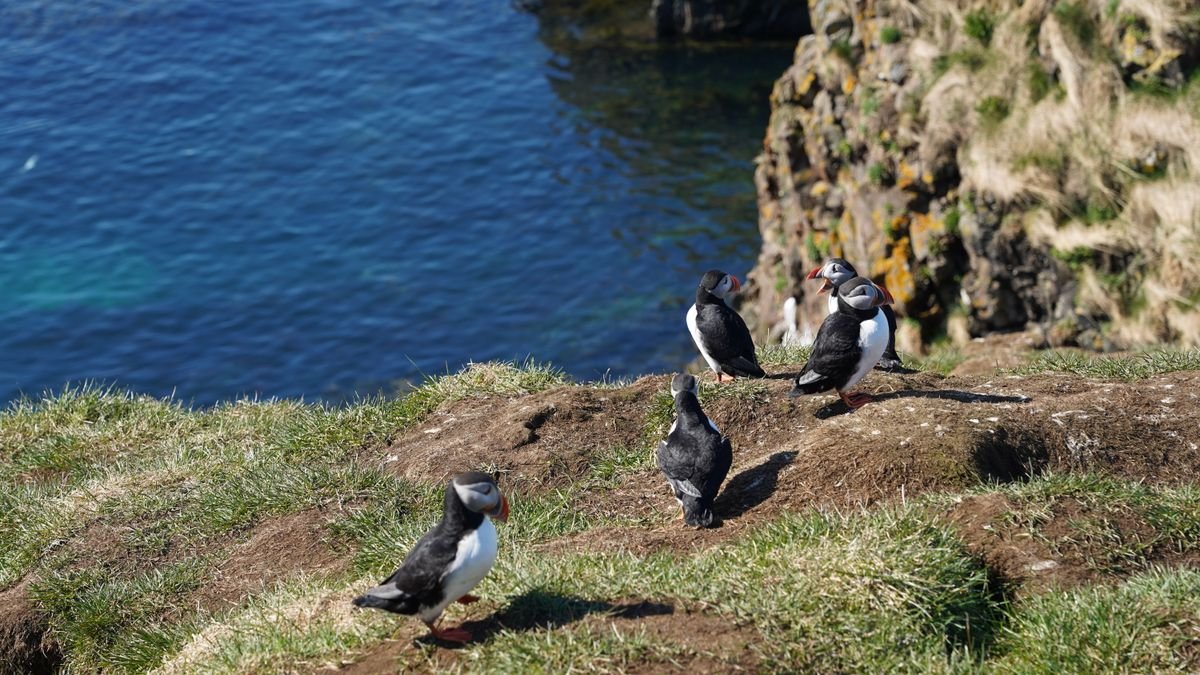
The cliffs are a working seabird colony, busiest from spring into early summer when the birds are nesting on the ledges. Keep an eye on the rock faces and the small island just off the trail and you’ll spot plenty:
- Puffins: the ones everyone wants to see, around from about April to July, mostly on the small grassy island below the main viewpoints.
- Guillemots and razorbills: packed onto the ledges in big numbers through the nesting season.
- Gulls and fulmars: out year round, riding the wind along the cliff edge.
Bring binoculars if you have them. The birds are a fair way down the rock and easy to miss with the naked eye, especially the puffins.
Where to Stay in Doolin & Liscannor
The two villages either end of the cliffs are Doolin in the north and Liscannor in the south, and where you bed down should come down to which route you’re walking. We based ourselves in Doolin on our last trip and would do it again, but Liscannor is the quieter call if Hag’s Head is your plan.
Staying in Doolin

Doolin is the better base for the walk, and it’s the one we’d point a first-timer to. The northern trailhead, the pier and the pubs are all close together, so you can leave the car parked and walk to everything for the evening.
For beds, Doolin is mostly B&Bs, guesthouses and self-catering cottages spread across the village. They book out fast in summer, so reserve ahead if you’re going between June and August. A reliable pick close to the trailhead is West Haven House, you can check availability at West Haven House on Booking.com. If you’re driving the coast in a camper, there’s a caravan park near the village too.
The trade with Doolin is that it’s small and it leans into the tourist trade, so prices climb in peak season and there isn’t much going on once the pubs wind down. For a walking base, that’s a fair deal.
Mountain Aven Guest House
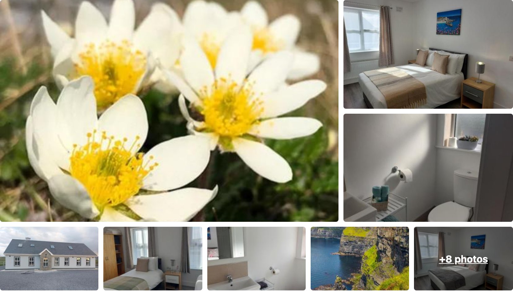
Mountain Aven Guest House sits under a kilometre from the centre of Doolin, so the trailhead and the pubs are both an easy walk, and it scores a 9.7 across more than 1,100 reviews. It’s the kind of guesthouse base that lets you leave the car for the evening.
👉 View Mountain Aven Guest House Availability and Pricing
Atlantic View House
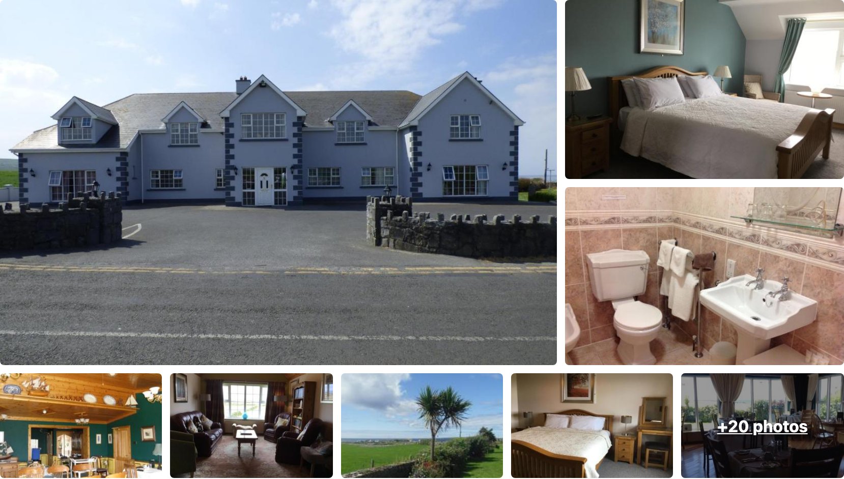
Atlantic View House is another Doolin guesthouse with a 9.7 over more than 1,000 reviews, a short drive from the village with sea views off the back. A solid pick if Mountain Aven is full.
👉 View Atlantic View House Availability and Pricing
Staying in Liscannor
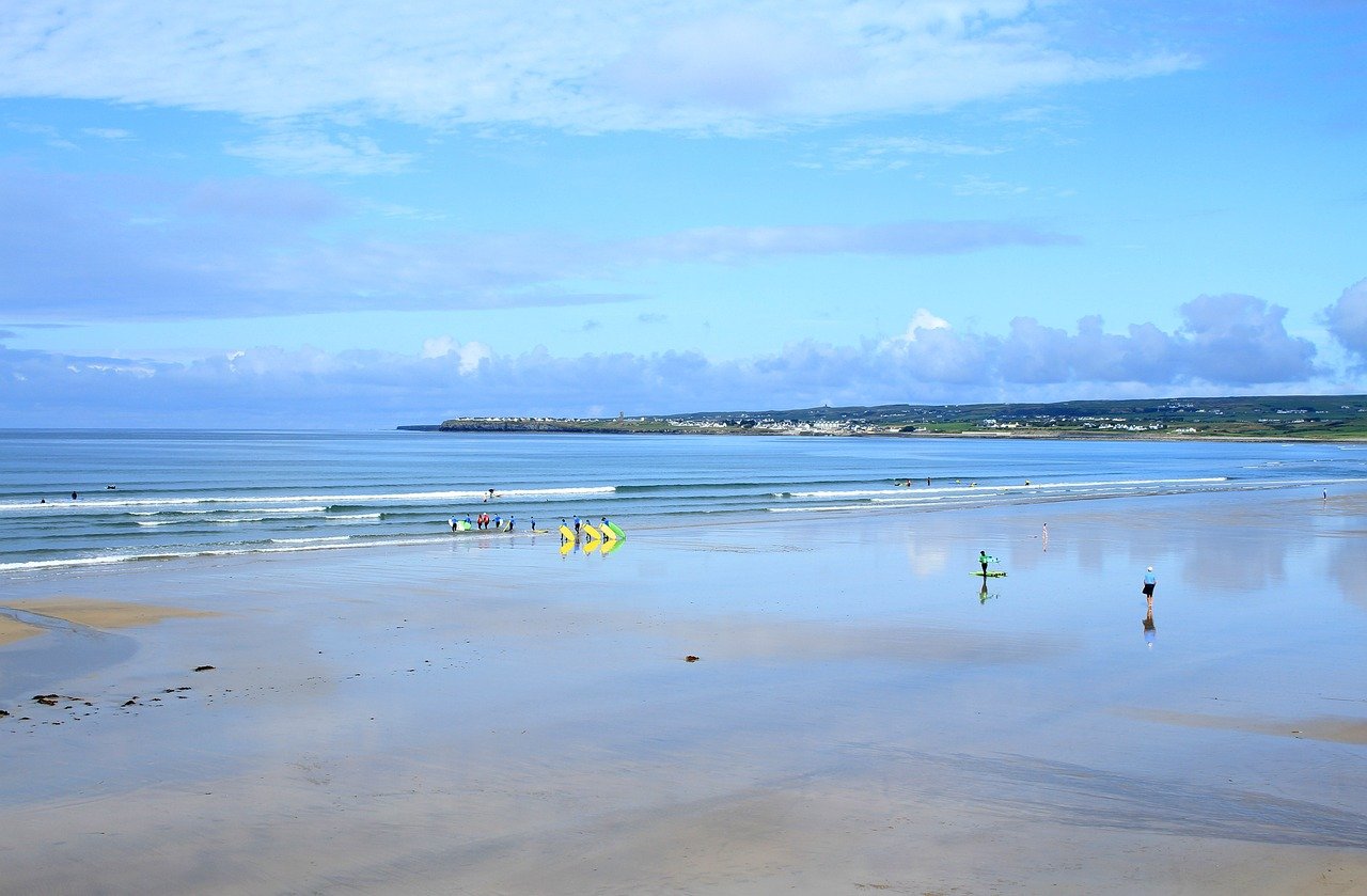
Liscannor sits at the southern end, the closest village to the Hag’s Head parking, so it’s the smart choice if you’re walking the southern route and want to start before the day-trippers arrive. It’s a working fishing village, quieter and a little cheaper than Doolin.
You’ll find B&Bs, a couple of pubs with food, and guesthouses here, plus more options a short drive on in Lahinch, the bigger surf town just up the coast with hotels and a wider choice of places to eat. The Lahinch Coast Hotel is the easy hotel pick if you want a full-service base near the southern cliffs, you can check rates at the Lahinch Coast Hotel on Booking.com.
If your trip is built around the walk and a pint at the end, stay in Doolin. If you want the southern cliffs with fewer people and a calmer night, Liscannor or Lahinch is the better fit.
Aiteall Boutique Accommodation
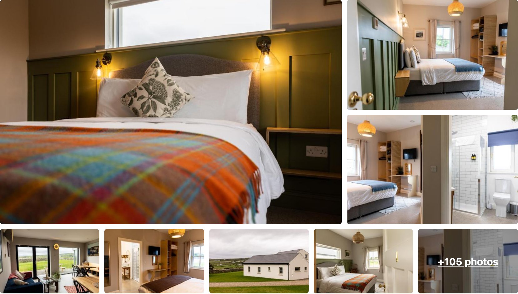
Aiteall Boutique Accommodation is the top-rated bed and breakfast in Liscannor, scoring 9.9 across more than 340 reviews, a couple of minutes from the village and the Hag’s Head road. The rooms are a step up from the standard B&B if you want a bit more comfort near the southern cliffs.
👉 View Aiteall Boutique Accommodation Availability and Pricing
Castle View Rooms
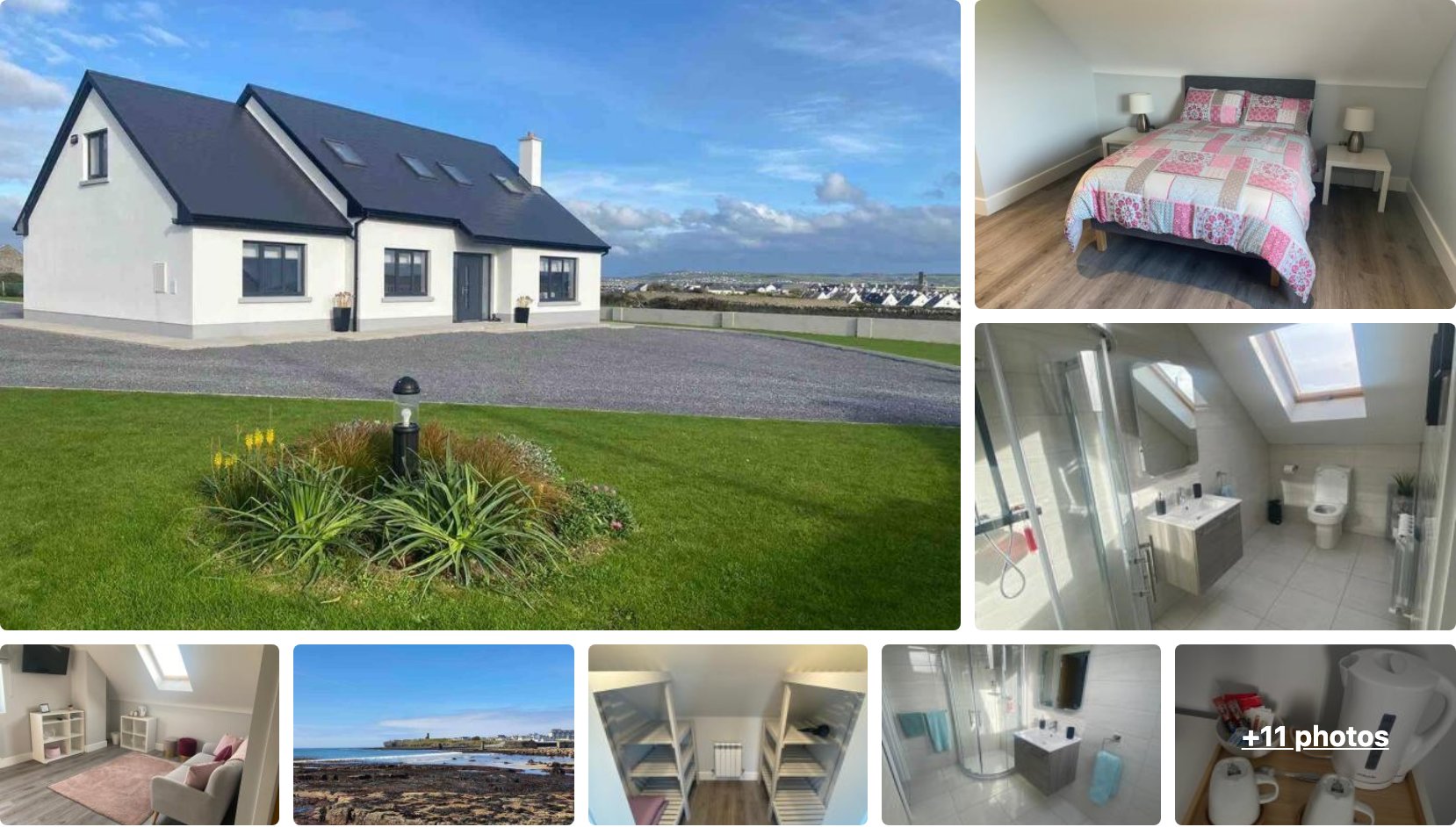
Castle View Rooms sits under a kilometre from Liscannor with a 9.6 over more than 350 reviews, looking out toward the coast. It’s the budget-friendlier of the two if you just want a clean, close base for the Hag’s Head start.
👉 View Castle View Rooms Availability and Pricing
Best Tours of the Cliffs of Moher
We drove the coast ourselves on our last trip and walked the cliffs straight out of Doolin, so we didn’t take an organized tour. If you’ve got a car, you don’t need one either. But plenty of people reach Clare without driving, and a tour is the simplest way to see the cliffs if that’s you.
The tours fall into three types: day trips from Galway, longer day trips from Dublin, and boat cruises that show you the cliffs from the water. Which one fits depends on where you’re starting and whether you want the view from the top or the bottom.
Day Tours from Galway

Galway is the obvious base for a cliffs day trip, since it’s only about an hour and a half down the coast. Most of these tours pair the cliffs with a run through the Burren, and the better ones stop in Doolin so you can walk a stretch of the clifftop path rather than just standing at the railings. If that’s the day you want, you can book the full-day Galway Cliffs of Moher and Burren tour on GetYourGuide.
If you’re picking one, check that it actually gives you a couple of hours at the cliffs and isn’t just a photo stop. The shorter ones leave you fighting the crowds at the visitor center for twenty minutes, which is the part of the cliffs we’d send you away from.
From Galway: Full-Day Cliffs of Moher & Burren Guided Tour
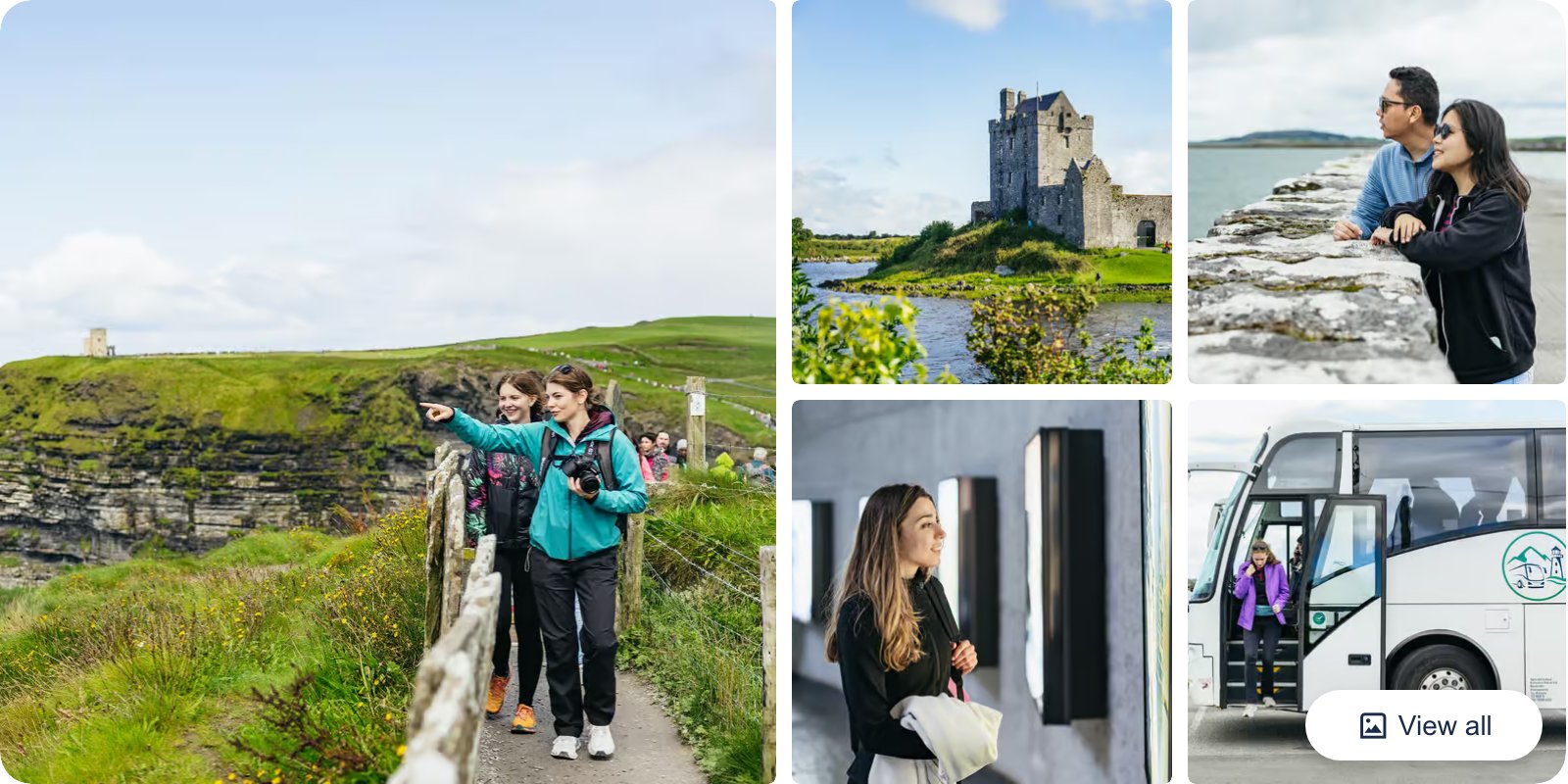
This full day runs from Galway down to the Cliffs of Moher and loops back through the Burren, with a stop in Doolin so you can walk a stretch of the clifftop path instead of just the railings. It’s about ten hours door to door with roughly two hours at the cliffs.
👉 Check From Galway: Full-Day Cliffs of Moher & Burren Guided Tour Availability and Reviews
Day Tours from Dublin
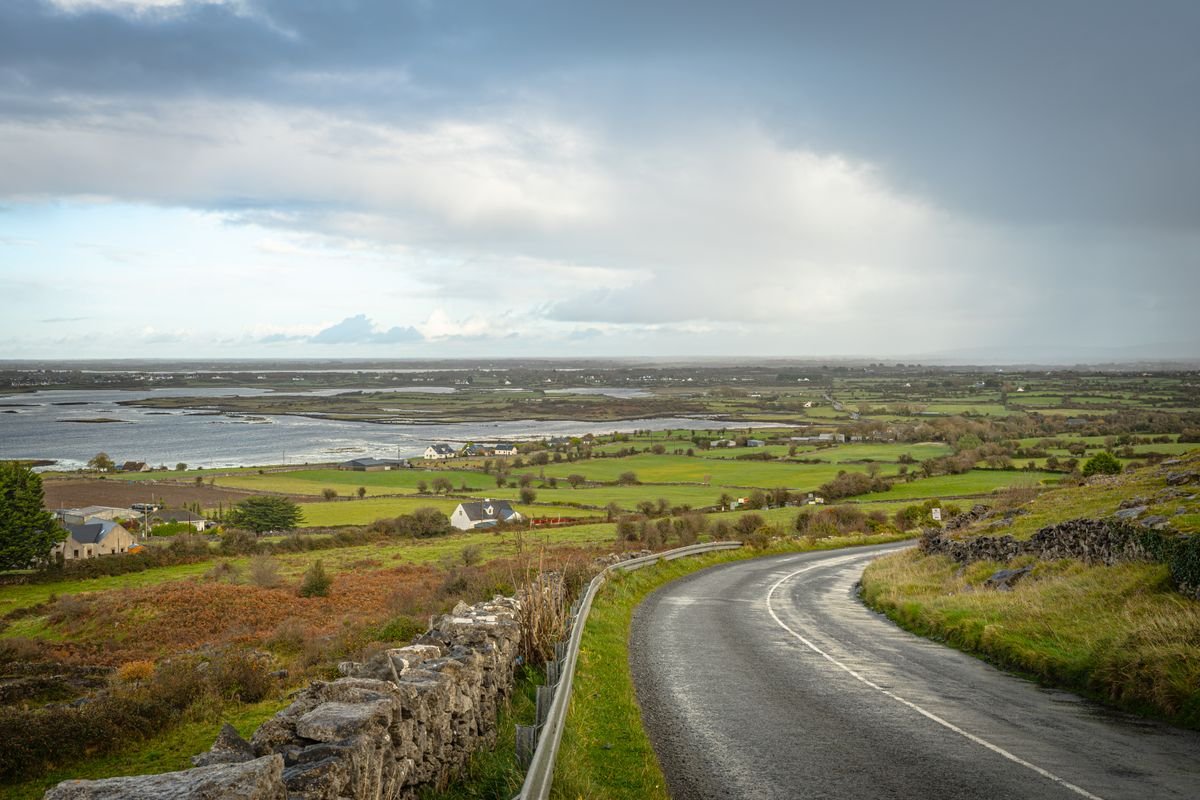
You can do the cliffs as a day trip from Dublin, but know what you’re signing up for. It’s roughly three hours each way across the country, so it’s a long day on a bus with a few hours at the cliffs in the middle, usually with a stop in Galway thrown in.
It works if Dublin is your only base and you just want to see the cliffs once, and if so you can book the Dublin Cliffs of Moher day tour on GetYourGuide. If you’ve got the time, you’re better off basing yourself in Galway or Doolin and walking the trail properly instead.
From Dublin: Cliffs of Moher, Burren & Galway City Day Tour
This is the cross-country version, leaving Dublin early for the Cliffs of Moher, the Burren, and a stop in Galway City on the way back. It’s a long day at around twelve to thirteen hours, with about three hours of driving each way and a couple of hours at the cliffs.
👉 See what’s included on the From Dublin: Cliffs of Moher, Burren & Galway City Day Tour
Boat Cruises from Doolin
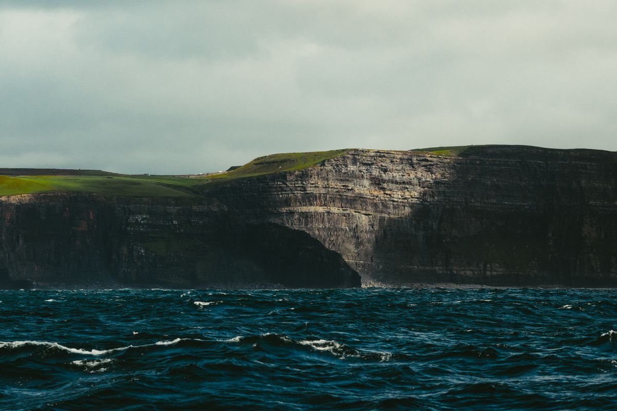
The boat cruises leave from Doolin pier and run along the base of the cliffs, so you get the one view the clifftop walk can’t give you: looking straight up at the full height of the rock from the water. They run seasonally and the sea has to cooperate, so they’re weather-dependent. When conditions are good you can book the Doolin cliffs boat tour on GetYourGuide.
This is the one tour we’d actually add even with a car, because it’s a completely different angle on the cliffs. Walk the top in the morning, take the boat in the afternoon, and you’ve seen them both ways in a day.
From Doolin: Cliffs of Moher Boat Tour
This one leaves Doolin pier and runs along the base of the cliffs, so you’re looking straight up at the full height of the rock from the water. It’s about an hour on the boat, runs seasonally from spring into autumn, and gets cancelled when the sea is rough.
👉 Check dates and prices for the From Doolin: Cliffs of Moher Boat Tour
Plan Your Ireland Road Trip
- A Photographer’s Definitive Ireland Road Trip
- Wild Atlantic Way Itinerary – Ireland’s Most Epic Road Trip
- 5 Day Ireland Itinerary: Dublin, Cork & the West Coast
Frequently Asked Questions
A few things people always ask before they walk the cliffs, answered quickly so you can plan the day.
How long is the Cliffs of Moher coastal walk?
The full trail from Doolin to Hag’s Head runs about 18km end to end, which is more than you’d want to walk and double back. The Doolin section up to the visitor center is roughly 8km one way, and Hag’s Head up to the tower is about 6km. Walk one way and take the bus or shuttle back.
Can you walk to the cliffs from Doolin?
Yes, and it’s the route we’d point you to first. The path starts near the pier at the south edge of the village, so you can leave the car and walk straight onto the trail from your B&B or the campsite. No ticket needed for the Doolin approach.
Do you need a ticket to walk the cliffs?
Only for the visitor center. Entry there is ticketed and covers the parking, the exhibition, and the paved paths around the main viewpoints. The clifftop trail from Doolin and from Hag’s Head is free to walk, so if you start at either end you don’t pay anything.
Is the walk safe?
It’s safe if you respect the edge. Once you leave the visitor center there’s no barrier between you and the drop, the grass at the lip crumbles, and the wind can be strong on the clifftop even when it’s calm below. Wear proper shoes, stay back from the edge, and keep kids and dogs close.
Which end should I start from?
Start at Doolin if you want the full hike and an easy walk to the pubs after. Start at Hag’s Head if you want the southern views with far fewer people. The visitor center is the spot to skip if you can, since that’s where all the buses unload.
What’s the best time of day to walk it?
Get on the trail by 9am. The tour buses don’t start filling the railings until mid-morning, so the first couple of hours are the calmest and usually the best light too. Late afternoon works as well, once the day-trippers have headed back to Galway.
In short
- Doolin route runs about 8km one way to the visitor center, or two hours out and back.
- Hag’s Head starts at the southern end and climbs to O’Brien’s Tower, with the fewest people.
- Walking Doolin to Hag’s Head end to end is roughly 18km, so do one section.
- Visitor center stretches are short paved paths north and south, good if you’ve only got an hour.
- Reach Doolin via the R478 from the Burren; the trailhead is an easy walk from the village pubs.
Final Thoughts
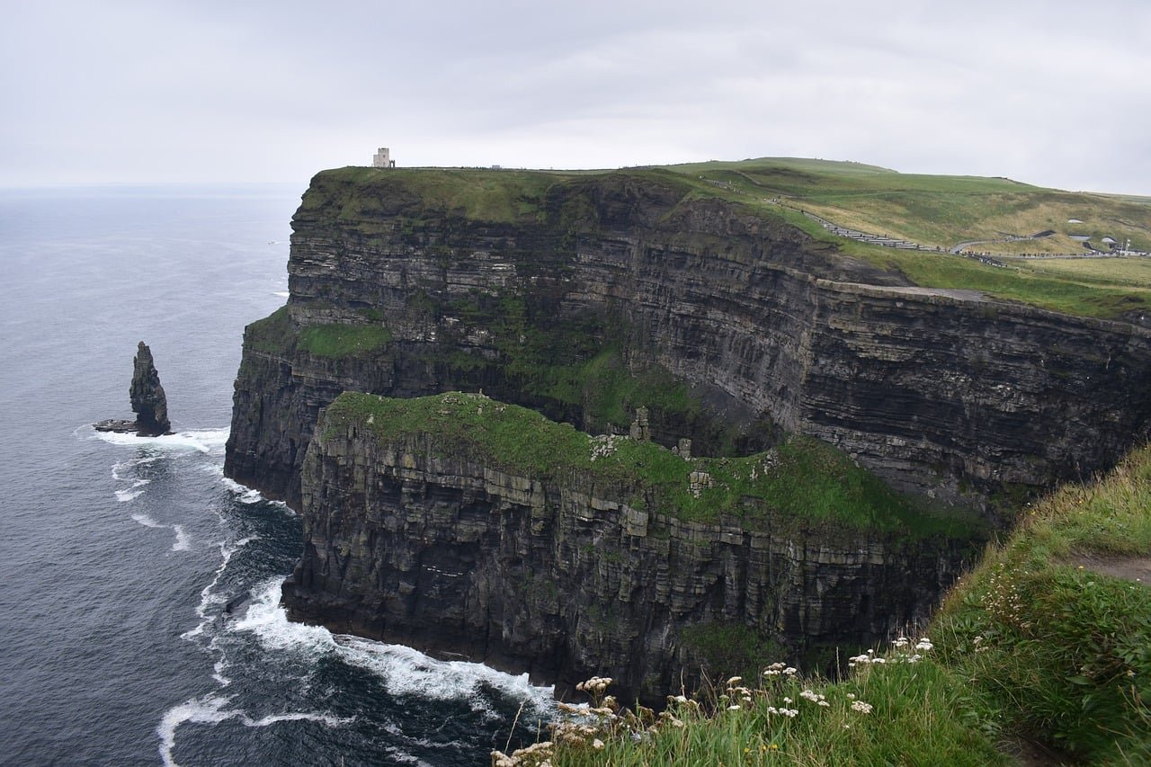
The Cliffs of Moher are worth the hype, but the railings off a tour bus give you twenty minutes and sell them short. The walk is the whole point. Out on the clifftop trail you get the scale, the drop and the quiet that the visitor center never gives you.
We walked the Doolin path on our last trip and it’s the one we’d send a first-timer to every time. You start from the village, skip the ticket and the crowds, and the pubs are a short walk from where the trail begins.
Do it one way and let the shuttle or the bus carry you back. Start early, before the buses fill the railings, wear proper shoes, and keep well back from the edge once the fences run out.
Get those few things right and the cliffs of moher coastal walk is the best half-day you’ll spend in Clare. Pick the Doolin route, walk it slow, and finish with a pint at Gus O’Connor’s.
Like it? Pin it!
Save this guide for later