The Wild Atlantic Way is the 1,600-mile coastal route down the west of Ireland, and it’s one of the best road trips you can do anywhere. We spent about two weeks driving a big chunk of it on our last trip, and picking out the best stops on the Wild Atlantic Way was the whole point of the drive.
Not every stop is worth your time. Some of the famous ones deserve the hype, and some of the small ones nobody plans for turned out to be our favorites. Loop Head Peninsula impressed us more than the Cliffs of Moher, and that surprised us both.
We drove it by campervan, but a rental car works exactly the same on this route and is the easier choice for a first trip, so don’t let the van talk put you off.
Below is the list of stops we’d actually send you to, plus how many days you really need, the best time of year to drive it, how to sort a car, and where to stay along the way.
More Wild Atlantic Way Guides
- 9 Best Places On The Wild Atlantic Way Route
- Wild Atlantic Way Itinerary – Ireland’s Most Epic Road Trip
- Wild Atlantic Way 5 Day Itinerary: Kinsale to Doolin
- Wild Atlantic Way Hotels With A Touch Of Luxury
Quick Answer:
The best stops on the Wild Atlantic Way run north to south from Malin Head in Donegal to Kinsale in Cork: Slieve League, Mullaghmore, Achill Island, Connemara, the Cliffs of Moher, Doolin, the Dingle Peninsula, and the Ring of Kerry. Almost nobody drives all 1,600 miles, so pick one section and give it five to seven days.
What the Wild Atlantic Way Actually Is
The Wild Atlantic Way is a signposted driving route that follows the entire west coast of Ireland. It runs from Kinsale in County Cork down south all the way up to Malin Head in County Donegal, and you can drive it in either direction.
It passes through nine counties and hugs pretty much every headland, bay, and cliff on the Atlantic side of the country. That’s Cork, Kerry, Clare, Galway, Mayo, Sligo, Leitrim, and Donegal, plus a slice of Limerick.
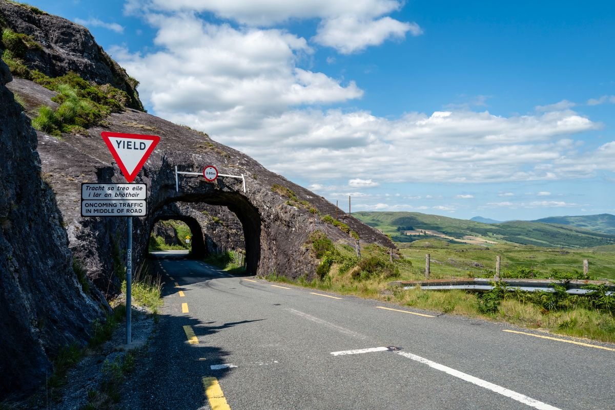
You follow it by watching for the signs. They’re blue with a white zigzag shaped like a wave, and once you learn to spot them they’re everywhere along the coast road.
The important thing to know is that almost nobody drives the full route in one go. Doing all of it properly would take you about three weeks, so you’re better off picking one section and driving that well instead.
We did the middle and southern stretch, from Galway down to Cork, and that alone gave us more coast than we could stop at. Connemara, the Clare cliffs, the Dingle Peninsula, and the Ring of Kerry are all on that one run.
The signs mean you barely need a map for the driving itself. The real thing to sort out is which stops are worth pulling off for, and that’s what the rest of this post covers.
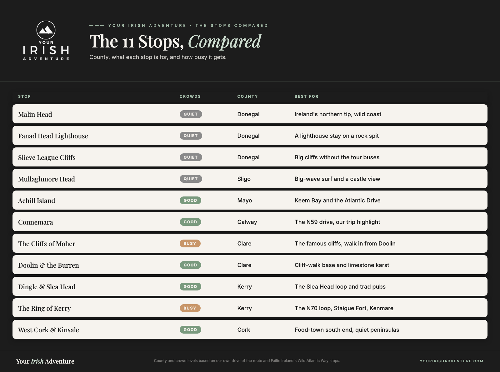
The Best Stops on the Wild Atlantic Way
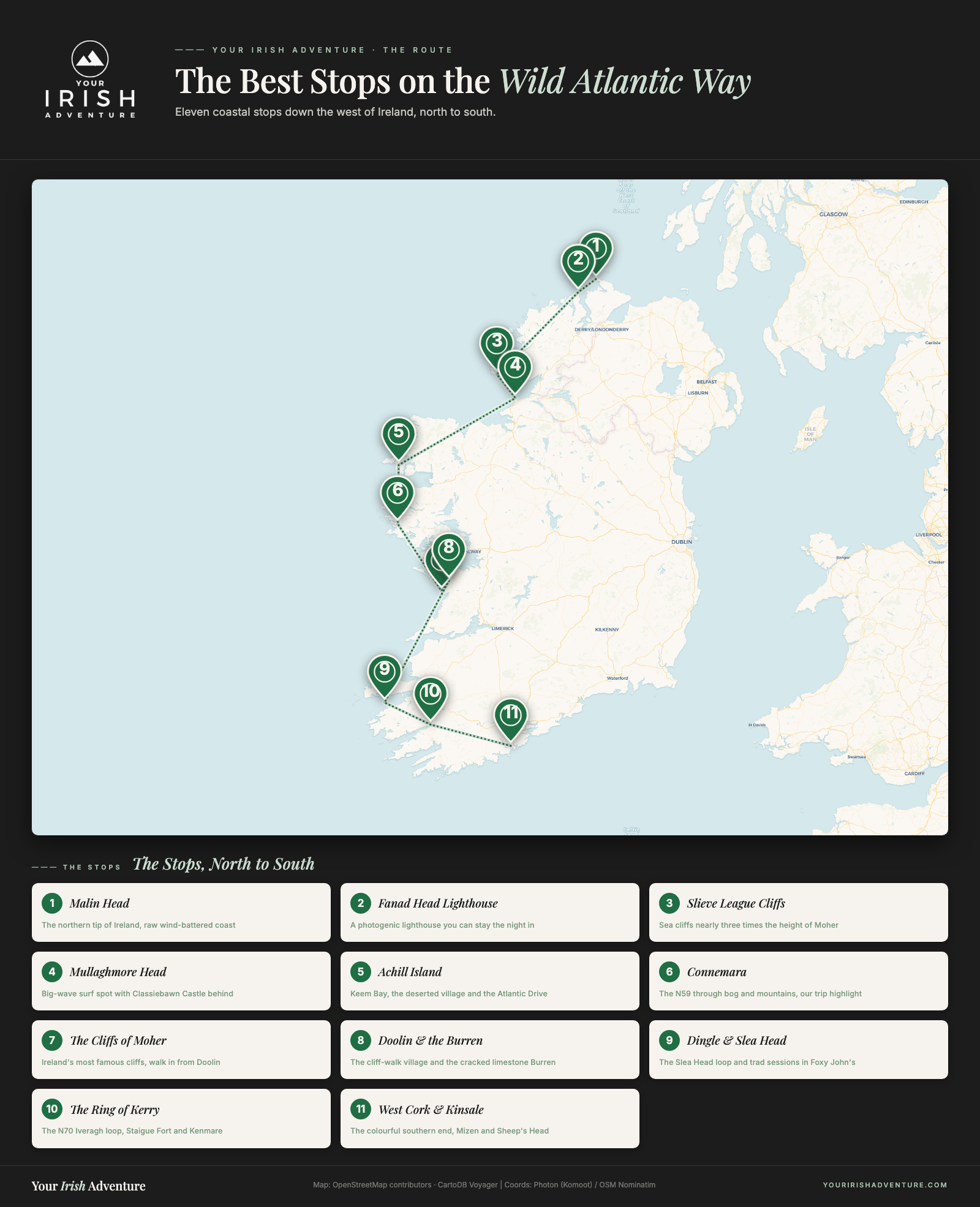
Here are the stops we’d actually send you to, running north to south. We drove the middle and southern half ourselves, so some of these come from our own days on the road, and the far-northern ones I’ll tell you about from what the route is known for.
Malin Head
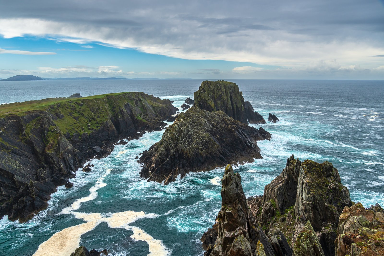
Malin Head in County Donegal is the northern tip of the whole route and the most northerly point in Ireland. It’s raw, wind-battered coast, and it’s where the Star Wars crew filmed for The Last Jedi.
We didn’t make it this far north on our last trip, but it’s top of the list for the next one. If you’re doing the Donegal end, this is the anchor stop.
Fanad Head Lighthouse
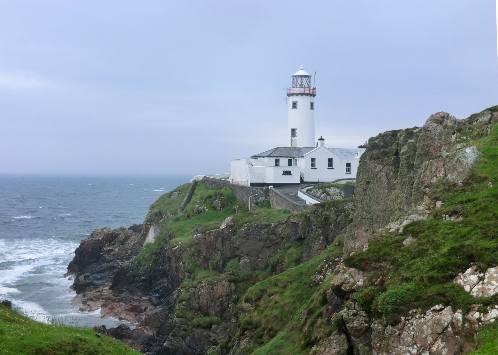
Also in Donegal, Fanad Head Lighthouse sits out on a narrow spit of rock and gets called one of the most photogenic lighthouses in the world. You can stay the night in the keeper’s cottages, which is a solid reason to build a Donegal loop around it.
Slieve League Cliffs
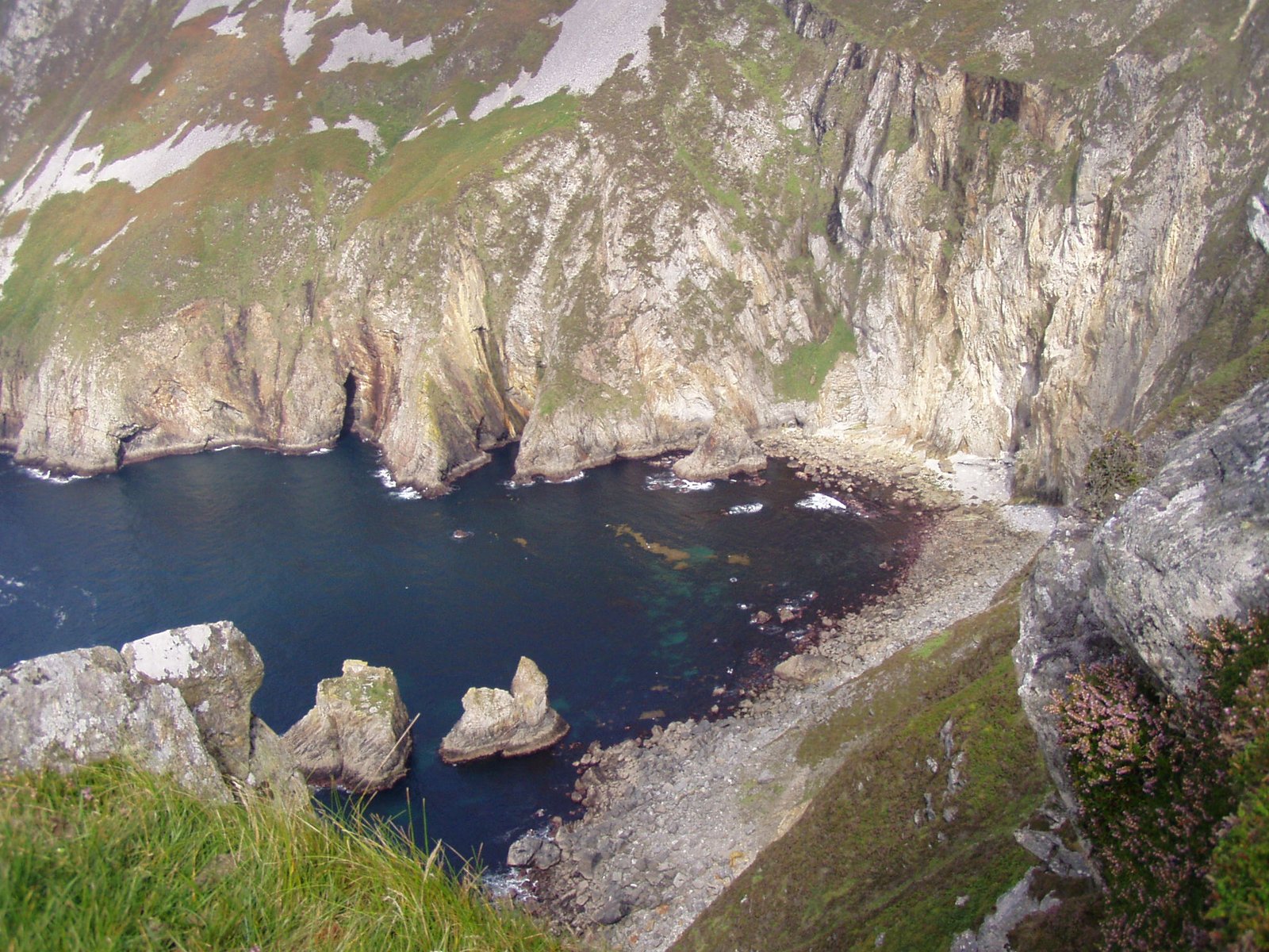
Slieve League are sea cliffs in southwest Donegal that run close to three times the height of the Cliffs of Moher, and far fewer people make it up there. If you want the big cliff drama without the crowds and the tour buses, this is the trade you make by heading north.
Mullaghmore Head
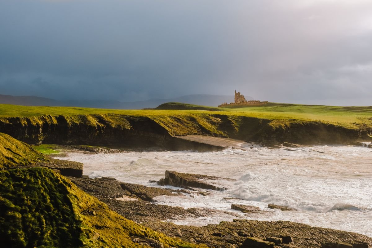
Mullaghmore Head in County Sligo is a big-wave surf spot, one of the heaviest in Europe when the swell is up, with Classiebawn Castle sitting on the headland behind it. Even if you’re not surfing, the drive around the head and the view back to the castle earn the stop.
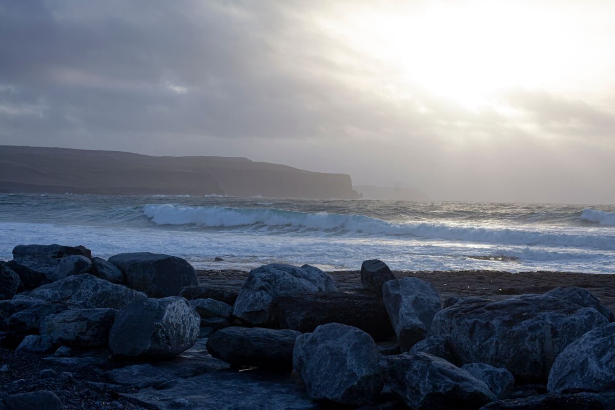
Achill Island
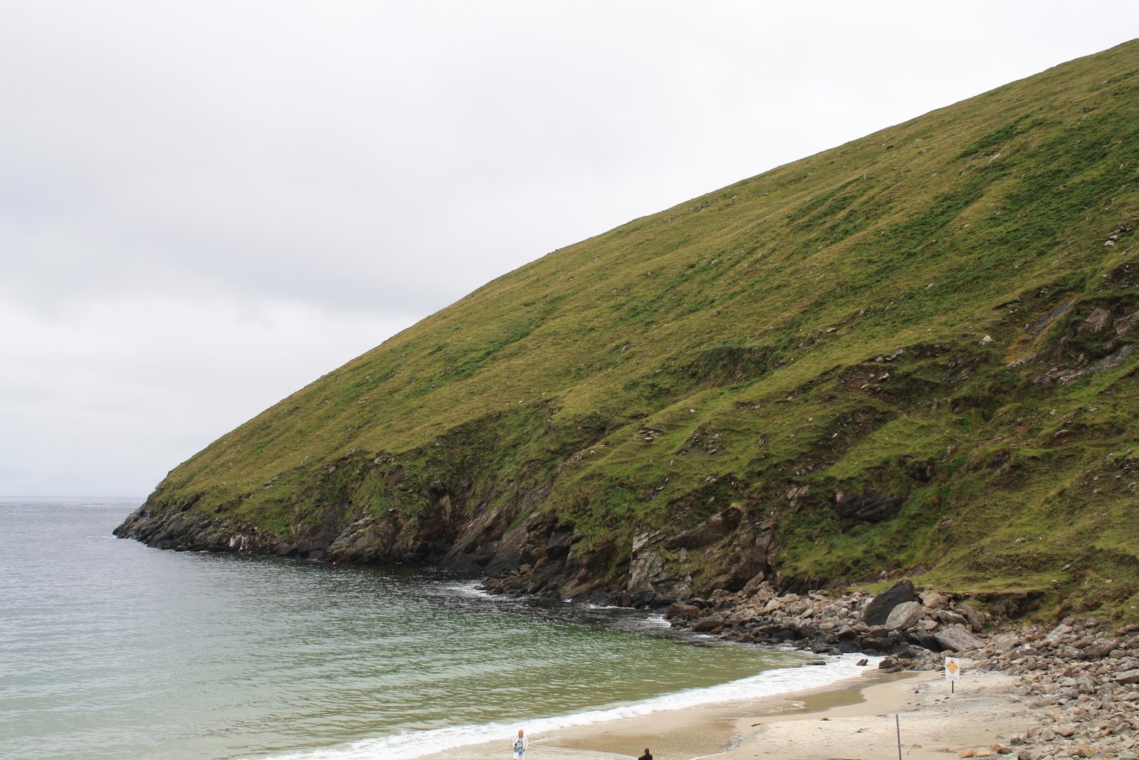
Achill in County Mayo is the biggest island off Ireland and you drive straight onto it over a bridge, so there’s no ferry to sort. Keem Bay, the deserted village, and the Atlantic Drive are the highlights, and it’s another one high on our list for next time.
Connemara
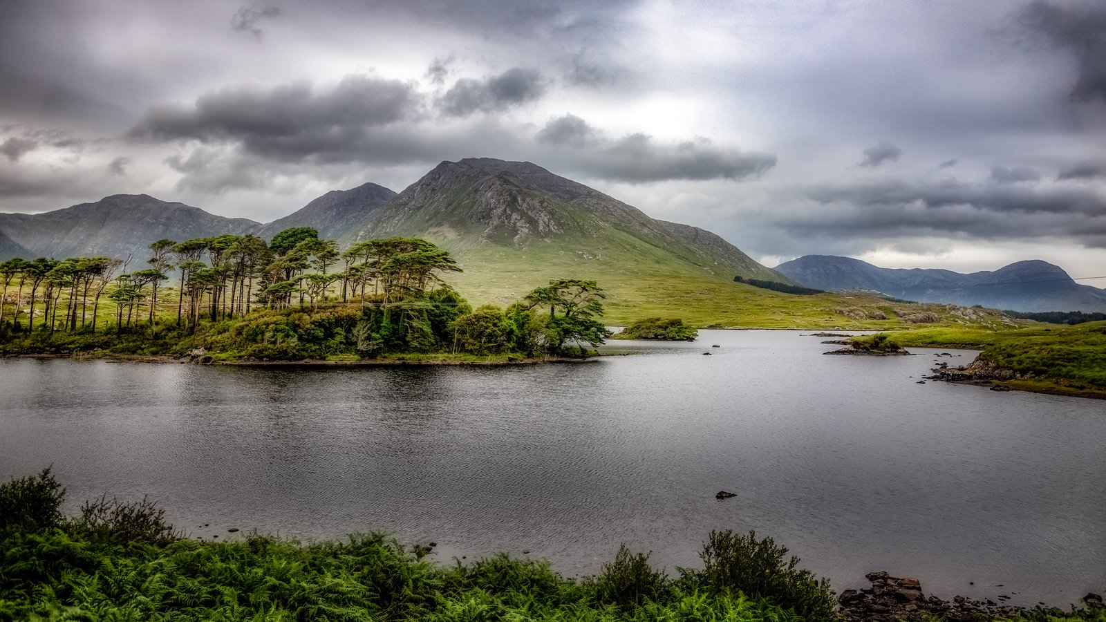
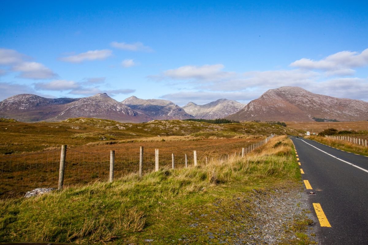
Connemara was the highlight of our whole trip, and it wasn’t close. The N59 west out of Galway runs through 7,000 acres of bog, heath, and mountains, and it’s one of the best drives in Ireland. Pull over at the pull-outs when the Twelve Bens come into view.
We stopped at Kylemore Abbey for the lake reflection shot and walked the Victorian walled garden, then had chowder at Guy’s Seafood Bar in Clifden, the best of the whole trip.
That night we camped at Clifden Eco Beach Camping & Caravanning Park with the van facing the Atlantic. I swam in the ocean in late September and it was clear and blue, then we lit a bonfire and cooked dinner watching the sunset.
If you’re renting a car, book a Clifden B&B and do the same coast by day.
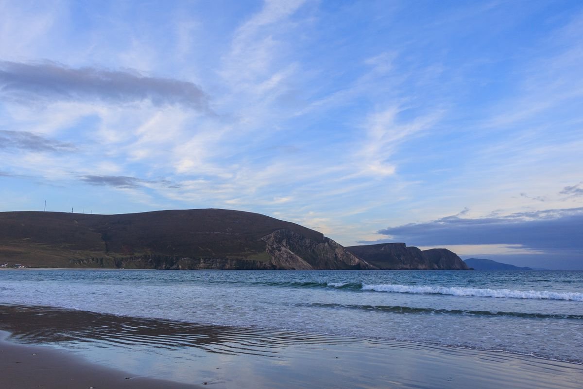
The Cliffs of Moher
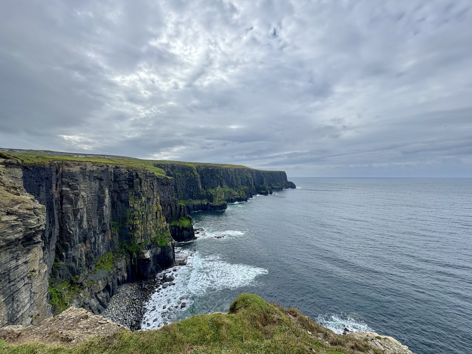
The Cliffs of Moher in County Clare are the most famous cliffs in Ireland, and yes, they’re worth doing. But skip the crammed main viewing platform if you can.
We hiked in from Doolin instead, along a narrow path that hugs the cliffside with a sheer drop to the ocean on one side and farmland with cows grazing on the other.
We did about two hours out and back. The weather was overcast, which was moody for the walk but not great for photos, so pack layers and hiking shoes and expect wind even on a calm day.
Doolin and the Burren
Doolin is the little village at the north end of the Clare cliffs and the base for the whole area. We stayed at Nagle’s Camping & Caravan Park, walking distance to the cliff trailhead and the pubs.
We had dinner at Gus O’Connor’s, a pub pouring pints since 1832, and the fish, chips, and mussels after a cliff walk hit the spot.
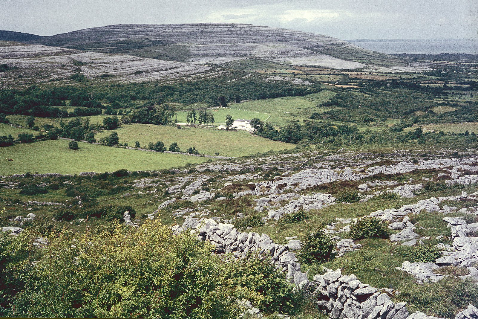
You reach Doolin on the R478 coming down off the Burren, a huge stretch of cracked limestone that looks like nowhere else in Ireland, so give yourself time on the way in.
Dingle Peninsula and Slea Head Drive
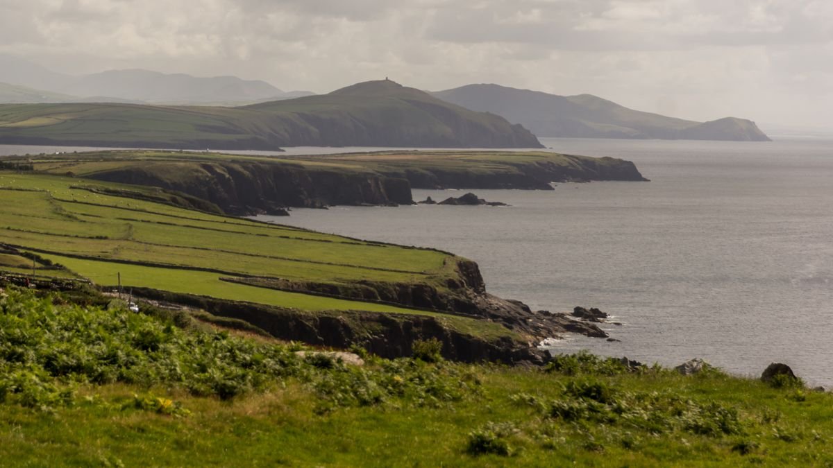
Dingle is my big regret from the trip. We arrived in heavy rain with work to do and only saw the town at night, so we never drove the Slea Head loop in daylight. Dingle deserves at least two nights, and I’d tell any first-timer to plan for that.
What we did nail was Foxy John’s, a working hardware shop with a bar at the back. We walked in to a trad session with a guitar and tin whistle duo going, and it’s one of the more unusual pubs in the country. Do that one whenever you’re in town.
The Ring of Kerry
The Ring of Kerry is the N70 loop around the Iveragh Peninsula, and you drive it clockwise from Killarney so you’re not meeting tour buses head-on. We had low cloud the day we drove it and a named storm coming in, so the coastal viewpoints weren’t at their best. In good light they’re spectacular, so don’t rush it if the sun’s out.
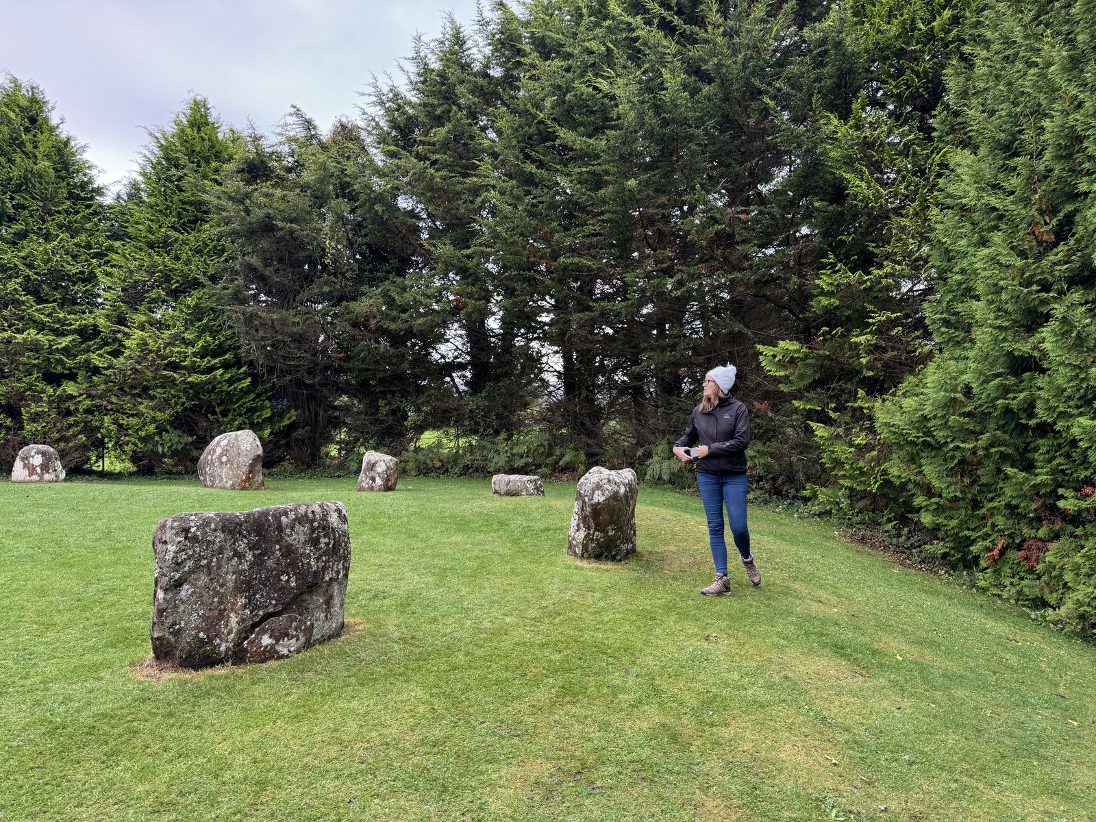
The stop we’d push you toward is Staigue Fort, an Iron Age dry-stone ring fort up a boreen off the main road. Most cars drive straight past the turn, and we had one of Ireland’s best ring forts almost to ourselves. We stopped in Kenmare too for the stone circle and a colorful main street of shops.
West Cork and Kinsale
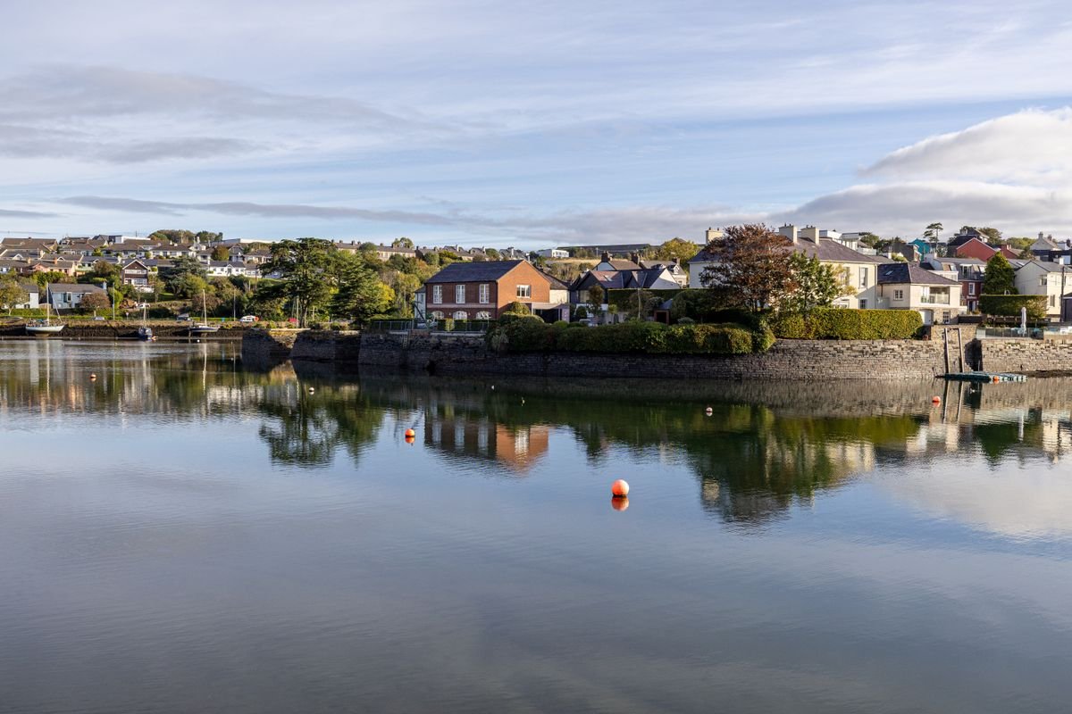
Kinsale is the southern start (or finish) of the Wild Atlantic Way, a colorful harbor town in County Cork known for its food scene and two star-shaped forts. From there West Cork runs out along Mizen Head and Sheep’s Head, which are quieter than the Kerry peninsulas and get far fewer visitors.
We only passed through Cork itself because the storm kept us in Cobh, and we managed a meal at Le Bon Crubeen and not much else. Cork is Ireland’s second city and everyone we’ve spoken to raves about it, so give it a full day or two, which is more than we did.
More Ireland Road Trips & Itineraries
- A Photographer’s Definitive Ireland Road Trip
- 5 Day Ireland Itinerary: Dublin, Cork & the West Coast
- Best Places to Visit in Kerry, Ireland: A Road-Trip Guide
How Long You Need to Drive the Wild Atlantic Way
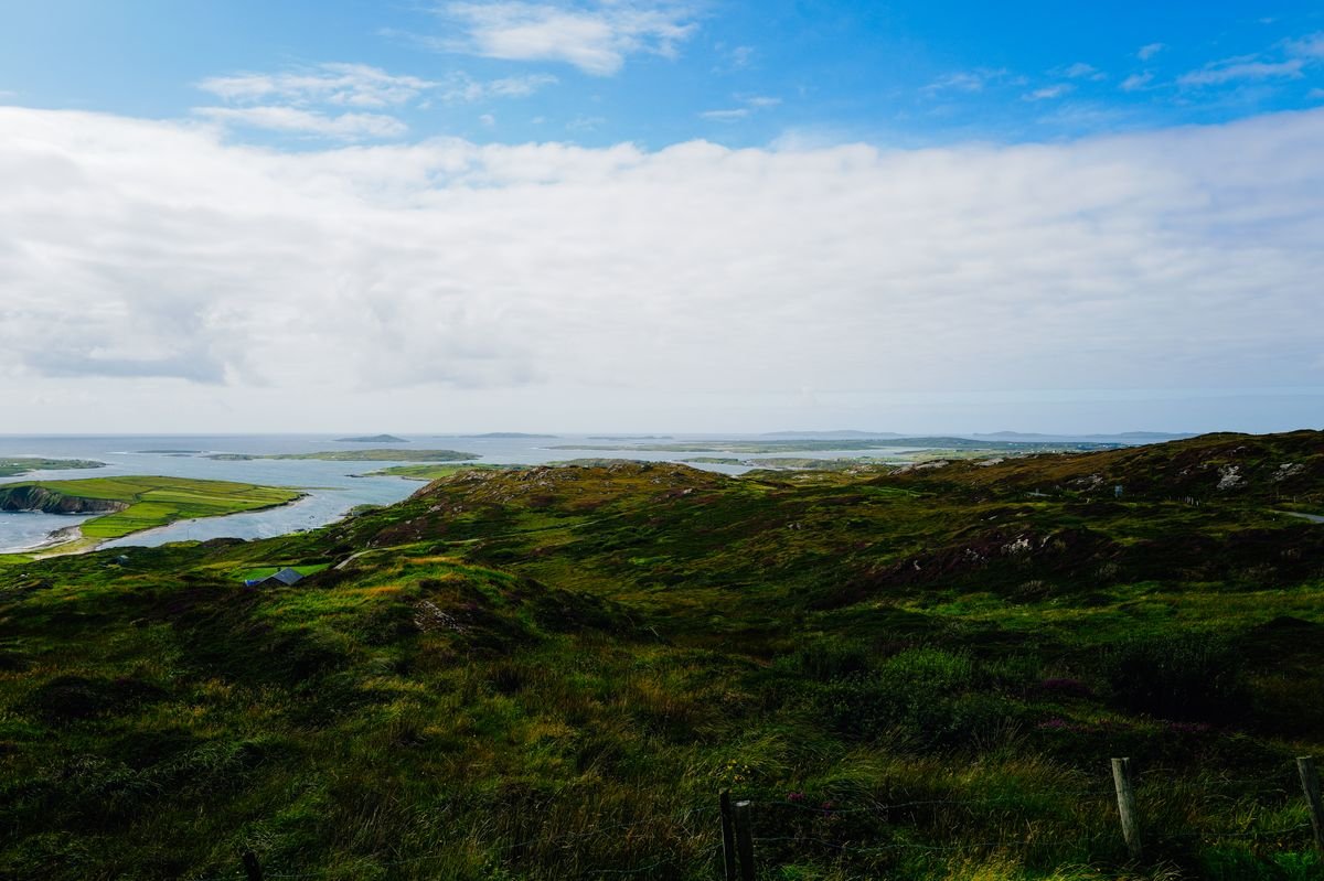
The honest answer is you don’t need to do the whole thing. Driving all 1,600 miles properly takes about three weeks, and almost nobody has that. So the real question is how many days you give to one section.
We had about two weeks and drove Galway down to Cork, and even that felt full. If I had to name a sweet spot for a first trip, it’s five to seven days on one stretch of coast.
Here’s a rough way to split it up if you’re deciding what to squeeze in.
- Two to three days: Connemara and the Clare cliffs, with a night in Clifden and a night in Doolin.
- Four to five days: add the Dingle Peninsula and the Ring of Kerry, giving Dingle two nights so you actually drive Slea Head in daylight.
- A full week or more: run the same route down to Kinsale and West Cork with room to slow down.
The mistake is trying to see all of it. We packed a lot into our days and still drove past places we’d have loved a morning at, and the times we felt rushed were the times we’d tried to cram two big stops into one day.
Build in slack for weather too. We hit a named storm on the Ring of Kerry and lost the viewpoints to low cloud, and an extra buffer day means you can wait out a bad one instead of driving a great coast in the rain.
So pick a section that fits your days, and drive it slowly. One stretch done well beats the whole coast done in a blur.
The Best Time to Drive the Wild Atlantic Way
We drove it in shoulder season, late September into early October, and I’d point most first-timers at the exact same window. You get thinner crowds, the roads and viewpoints aren’t jammed, and the pubs still have trad sessions going most nights.
May and June are the other sweet spot. You get the longest days and the driest, calmest stretch of the year, and the west coast is at its greenest.
July and August are peak. The weather is your best shot at sun, but every town is busy, the Cliffs of Moher platform is packed, and B&Bs and rental cars book out and cost more, so lock those in early.
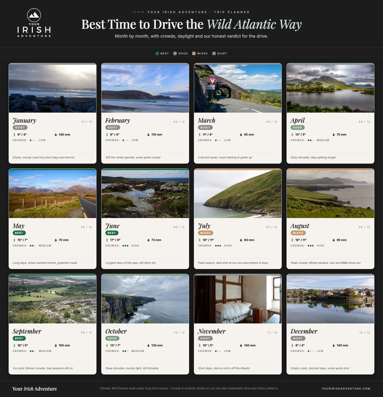
Winter, roughly November to February, is the gamble. The coast is empty and moody, but daylight is short, storms roll in off the Atlantic, and some smaller spots and eateries close up for the season.
Whenever you go, plan for rain. This is the Atlantic coast of Ireland, and you’ll get four seasons in a day no matter the month, so the season you pick changes the odds, not the guarantee.
My honest pick is late May or September. You dodge the peak crush, you get more daylight than the deep shoulder, and you still have a fair chance at the kind of clear day that makes these viewpoints worth the drive.
Renting a Car and Getting Around
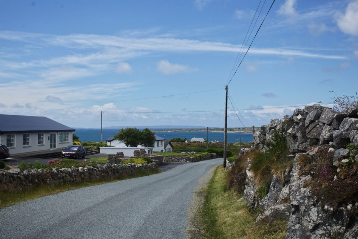
You need your own wheels for this route. There’s no train that follows the coast, buses between the small headland villages are thin, and half the best stops are up a boreen a bus would never touch. Rent a car and drive it yourself, and it’s worth taking a minute to compare car hire deals on Discover Cars before you land.
We did it by campervan with Indie Campers, but a rental car is the easier call for most first-timers and it reaches every stop in this post. The van just meant we slept facing the Atlantic some nights.
Book an automatic if you’re at all unsure. Most Irish rentals are manual, the automatics sell out first, and you don’t want to be learning a stick shift on a narrow coast road on the left. Reserve early in July and August, when cars book out and prices climb.
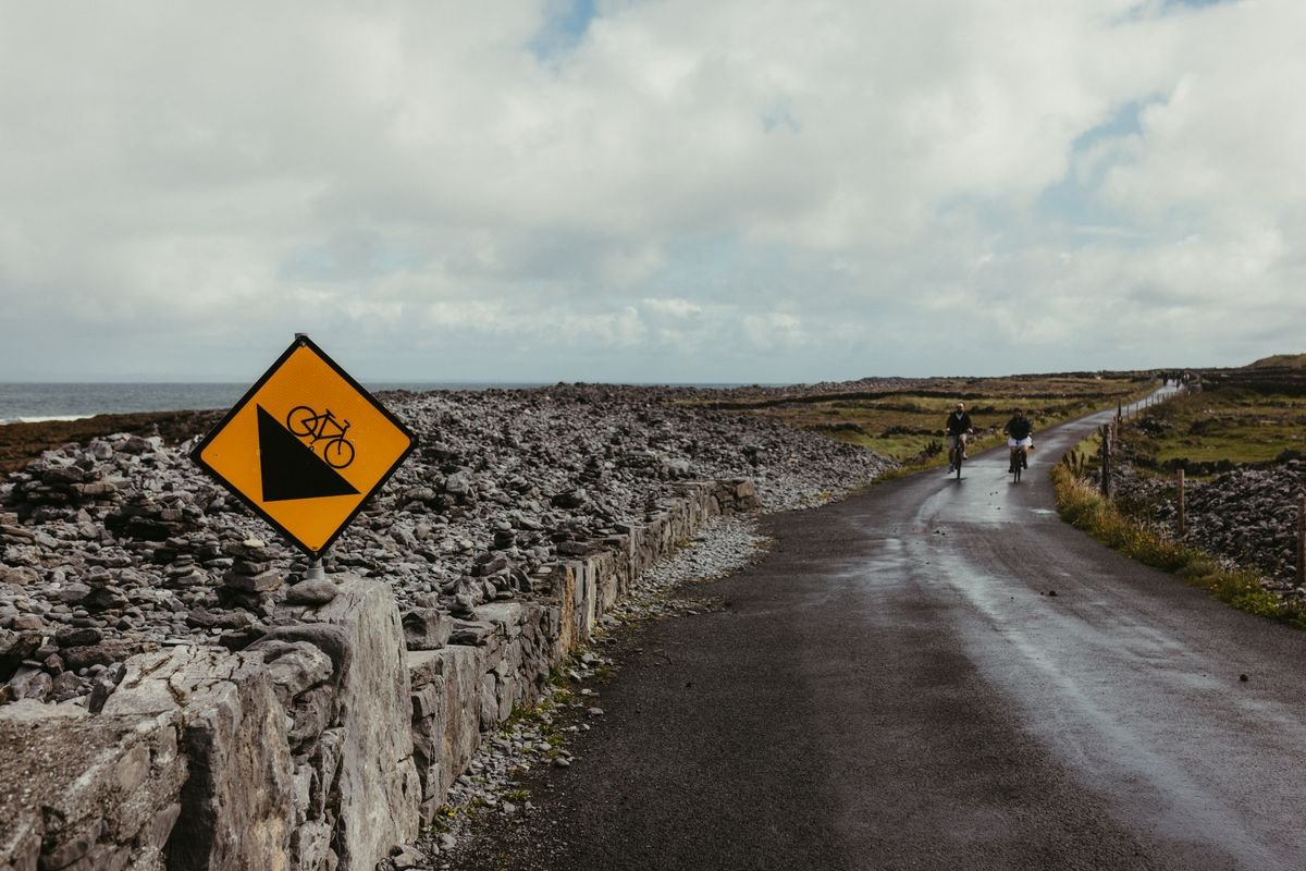
Ireland drives on the left, and the driver sits on the right. It takes a day to feel normal. The thing that catches people out isn’t the wrong side, it’s how narrow the coastal roads get, with stone walls right at the edge and no shoulder.
Take a smaller car if you can. On the Ring of Kerry and the roads out through Connemara you’ll meet oncoming traffic on lanes barely wide enough for two, and a compact makes the pull-ins and reversing far less stressful.
Sort out the insurance before you go. Rental excess in Ireland can run high, so check whether your own coverage or a card benefit applies, and read the fine print on the collision damage waiver rather than getting talked into it at the desk.
A few practical bits. Fill up in the bigger towns because gas stations get sparse out on the peninsulas, most spots have parking but the popular ones charge, and download offline maps since the phone signal drops on the wilder stretches.
Where to Stay Along the Wild Atlantic Way

The move here is to pick a handful of base towns and stay two nights in each, rather than packing up and moving every single night. You’ll drive less, unpack once, and get a proper evening in the local pubs instead of arriving somewhere after dark and leaving at breakfast.
For the stretch we drove, four bases cover almost everything. Clifden for Connemara, Doolin for the Clare cliffs, Dingle for the peninsula, and Killarney or Kenmare for the Ring of Kerry.
Clifden for Connemara
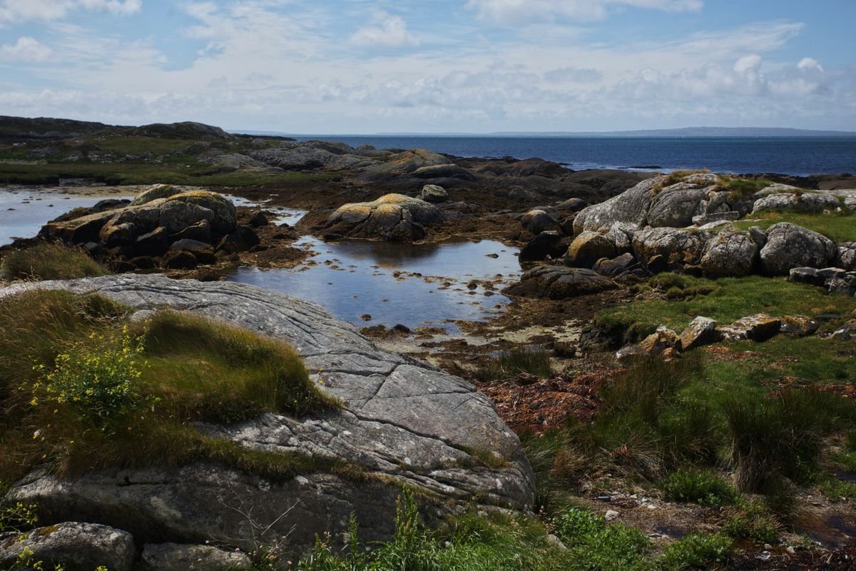
Clifden is the obvious base for Connemara, a small town with plenty of B&Bs and a couple of hotels, and it puts Kylemore, the N59, and the Sky Road all within easy reach. We camped just outside town by the sea, but if you’re in a car, book a room in Clifden on Booking.com and drive the same coast by day.
Where to Stay in Clifden
Doolin for the Cliffs and the Burren
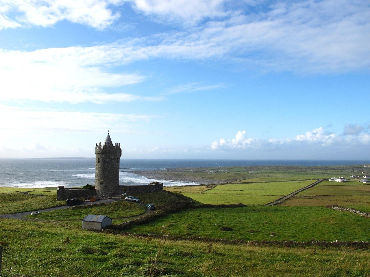
Doolin is tiny but it’s the right base for the cliffs, since you can walk to the trailhead and the pubs without driving. It books out fast in summer, so check availability in Doolin on Booking.com early, and if the B&Bs and cottages are full, Lisdoonvarna and Ennistymon are a short drive inland and cheaper.
Where to Stay in Doolin
Dingle for the Peninsula
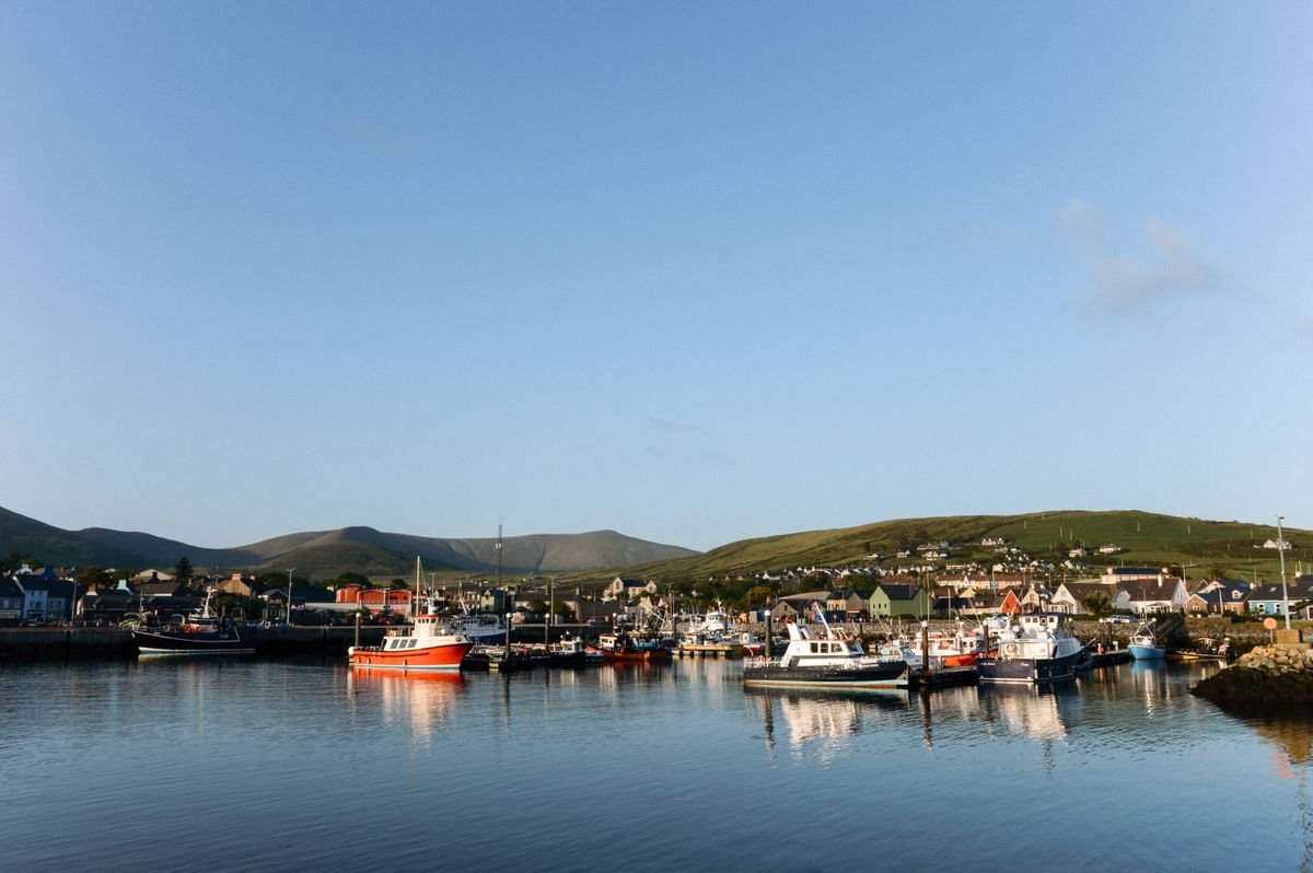
Give Dingle two nights so you actually drive Slea Head in daylight, which is the one thing we got wrong. The town has guesthouses and B&Bs right in the center, so book your Dingle stay on Booking.com, and we parked the van at the Rainbow Hostel just outside, a ten-minute taxi from the pubs.
Where to Stay in Dingle
Killarney or Kenmare for the Ring of Kerry
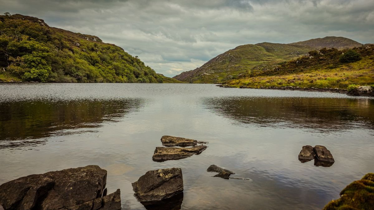
Killarney is the busiest base for the Ring of Kerry, with the most beds, restaurants, and nightlife, plus the National Park on its doorstep, so you’ll find the widest choice when you check availability in Killarney on Booking.com. Kenmare is the quieter, smaller alternative on the south side of the ring, and it’s a colorful town with good food if you’d rather dodge the crowds.
👉 Read our full guide to Killarney National Park.
Where to Stay in Killarney
Camping and campervans
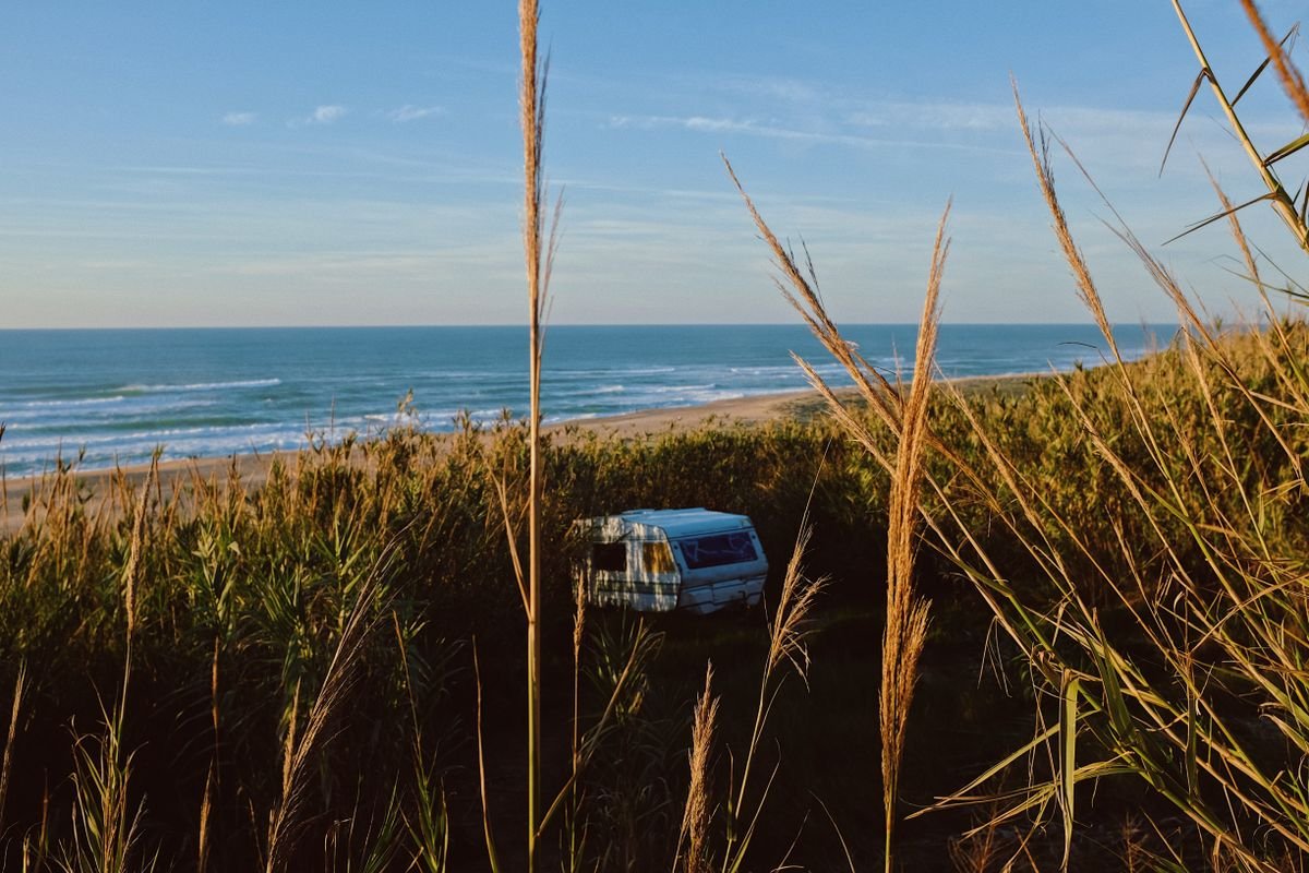
If you’re in a van or a tent, the coast is dotted with caravan and camping parks, and most have good facilities and sit close to the main stops. Book ahead in July and August, plan for showers and hookups at the parks rather than wild camping, and check reviews since the small family-run ones vary a lot.
Book the summer months early
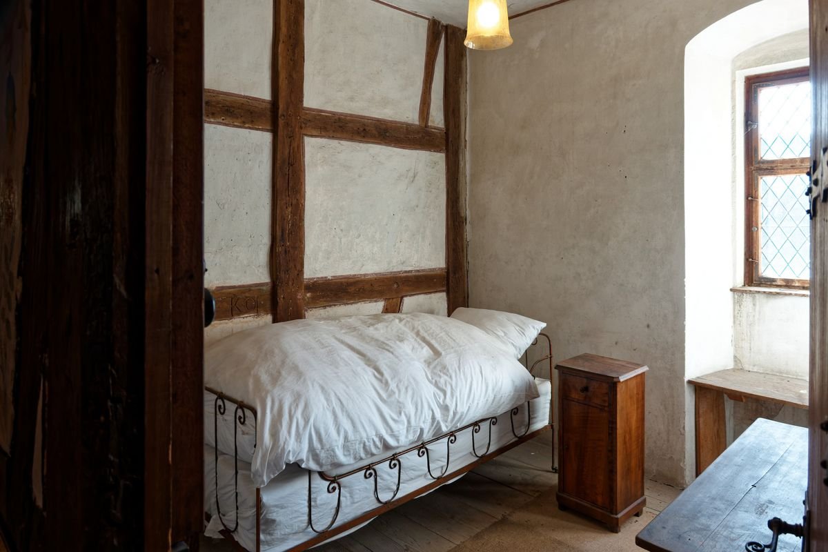
In peak season the good B&Bs in the small towns go fast, and Doolin and Dingle in particular sell out weeks ahead. In shoulder season you’ve got more room to wing it, but I’d still lock in your first night or two so you’re not hunting for a bed after a long drive.
Explore More Stops Along the Coast
- How To Visit The Cliffs Of Moher (Complete Guide)
- The Best Coastal Walks in Ireland: 10 Cliff & Sea Trails
- 21 Unique Things To Do in Kerry, Ireland – The Kingdom County
- 10 Things To Do in Westport, Ireland (2025 Guide)
In short
- The route runs about 1,600 miles from Malin Head in Donegal to Kinsale in Cork.
- Almost nobody drives it all; pick one section and give it real time.
- The Galway-to-Kerry stretch suits a first trip: Connemara, Clare cliffs, Dingle, Ring of Kerry.
- Highlights take five to seven days; the full route needs closer to two weeks.
- Drive it in May, June, or September and rent a car, since public transport is thin.
Frequently Asked Questions
Is the Wild Atlantic Way worth it?
Yes, and it’s one of the best road trips we’ve done anywhere. The mix of coast, cliffs, small pub towns, and empty back roads is hard to beat, and you can tailor it to whatever time you’ve got.
Which direction should you drive it?
Either works, and the signs run both ways. Officially it’s mapped south to north, from Kinsale up to Malin Head, but plenty of people go the other way. Just pick the end nearest your arrival airport and start there.
Can you drive it without a car?
Not really. There’s no coastal train, buses between the headland villages are thin, and the best stops sit up narrow lanes public transport never touches. You need your own wheels for this one.
Which section is best if you only have a few days?
The Galway-to-Kerry stretch is the one I’d send a first-timer to. Connemara, the Clare cliffs, Dingle, and the Ring of Kerry all sit on that run, and you can do the best of it in five to seven days.
Is it a hard drive?
It’s easy driving, just narrow. Ireland’s on the left and the coastal lanes are tight with stone walls at the edge, so take a smaller car and go slow. Give it a day and it feels normal.
Final Thoughts on the Best Wild Atlantic Way Stops
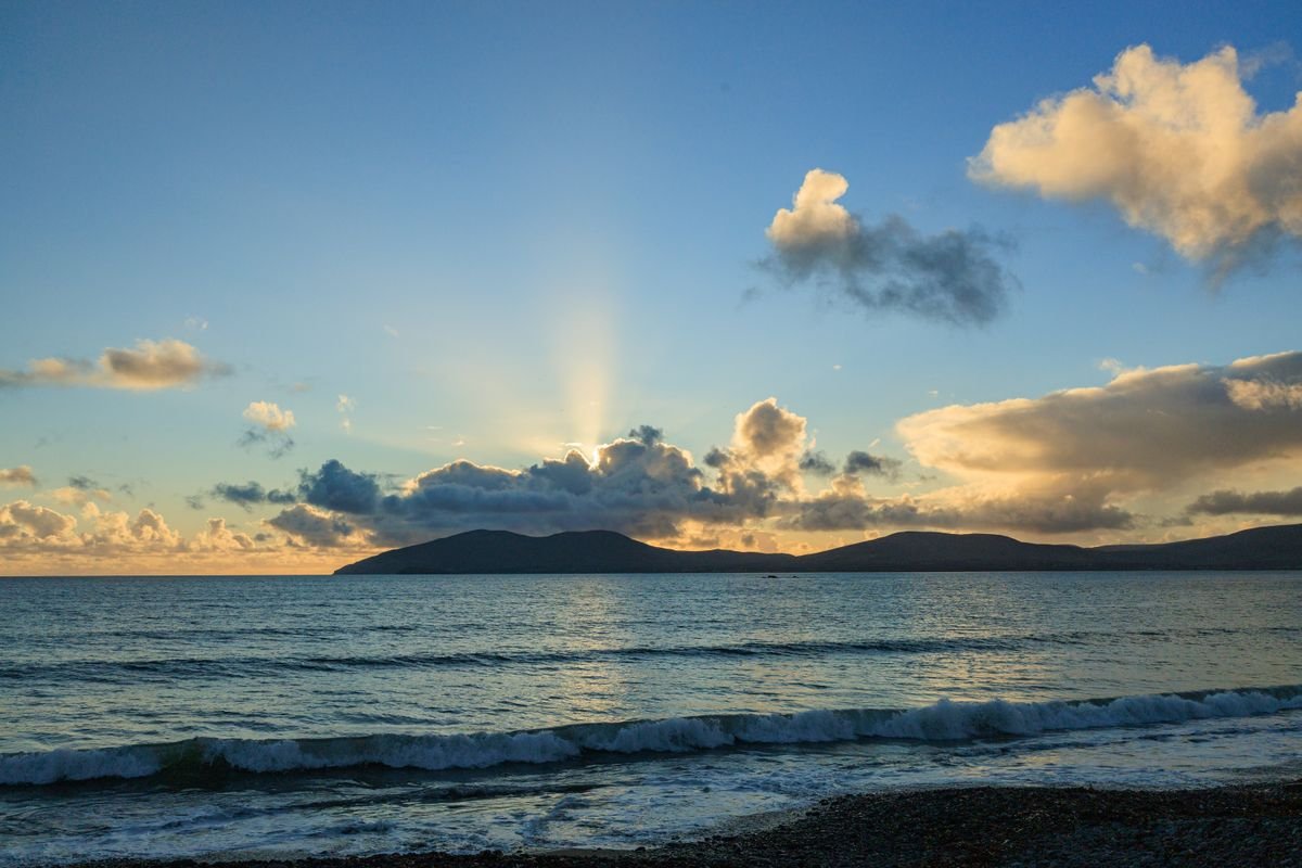
If you take one thing from all of this, it’s that you don’t have to see the whole coast. Pick a section, give it real time, and drive it slowly. That’s the trip that actually pays off.
The stops that stuck with us weren’t always the famous ones. Connemara was the best call of the trip, Staigue Fort was almost empty when we turned up the boreen, and the Doolin cliff walk beat the crammed viewing platform every time.
Do a couple of things better than we did. Give Dingle two nights so you drive Slea Head in daylight, and leave a buffer day so a storm doesn’t cost you your best coast.
Rent a car, take a smaller one, base yourself in a handful of towns for two nights each, and go in May or September if you can swing it. That’s the setup that makes this whole route easy.
It’s one of the best drives we’ve done, and we already know we’re going back for the Donegal end. Get out there and find your own favorite stop.
Like it? Pin it!
Save this guide for later